Zion Canyon by Paul Amengual

Zion National Park is a place that I have long had on my list of places to see. This year for 4th of July I was lucky to have a few days of time off that allowed me to visit. It was a long journey, and I was certainly not the only one with this idea. I had the opportunity to see some truly unique and beautiful places though. Along the way both there and back again, I also took some time to visit other famous locations.


Day 1:

The first stop was Monument Valley. It took about 5 hours to reach this point. To me, it was a sure sign of the red desert rising to meet me. Beneath a nearly cloudless blue sky and towering high above the plateau, these enormous sandstone buttes gave me a surprisingly quiet feeling.

I couldn’t help but think of Forrest Gump when I was here. “My momma always said, 'You got to put the past behind you, before you can move on.' And I think that's what my runnin' was all about.” - Forrest Gump

I began here viewing the "Mittens" above the road, and then took a tour around the valley road. Deeper in the park, there are numerous arches, mesas, and storied petroglyphs and markings in the rock. Trying my best to seek what little shelter there was in the heat, I searched for the symbols that the Navajo guide pointed to, hidden in the markings. And then I relaxed beneath a silent arch and listened to the sound of the flute as my guide played.

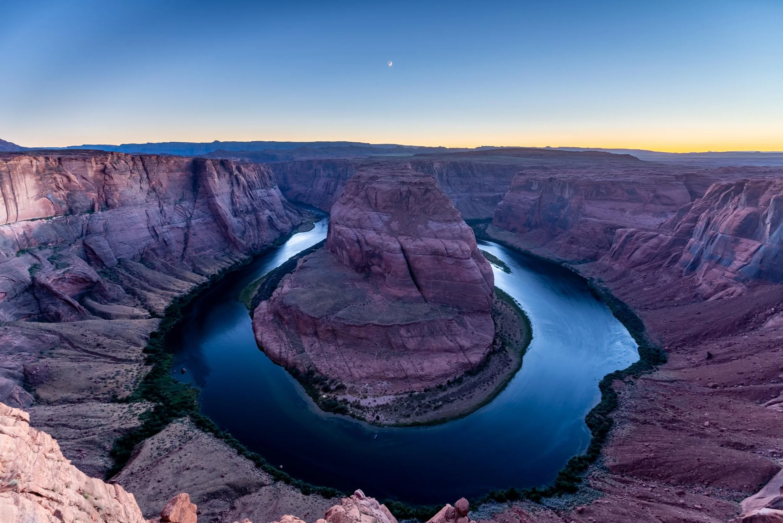
Then it was time to move on. I arrived just in time to watch the sunset. Horseshoe Bend. It is a popular location, showcasing a sharp bend in the Colorado River, and the deep gorge into the rock that it formed.
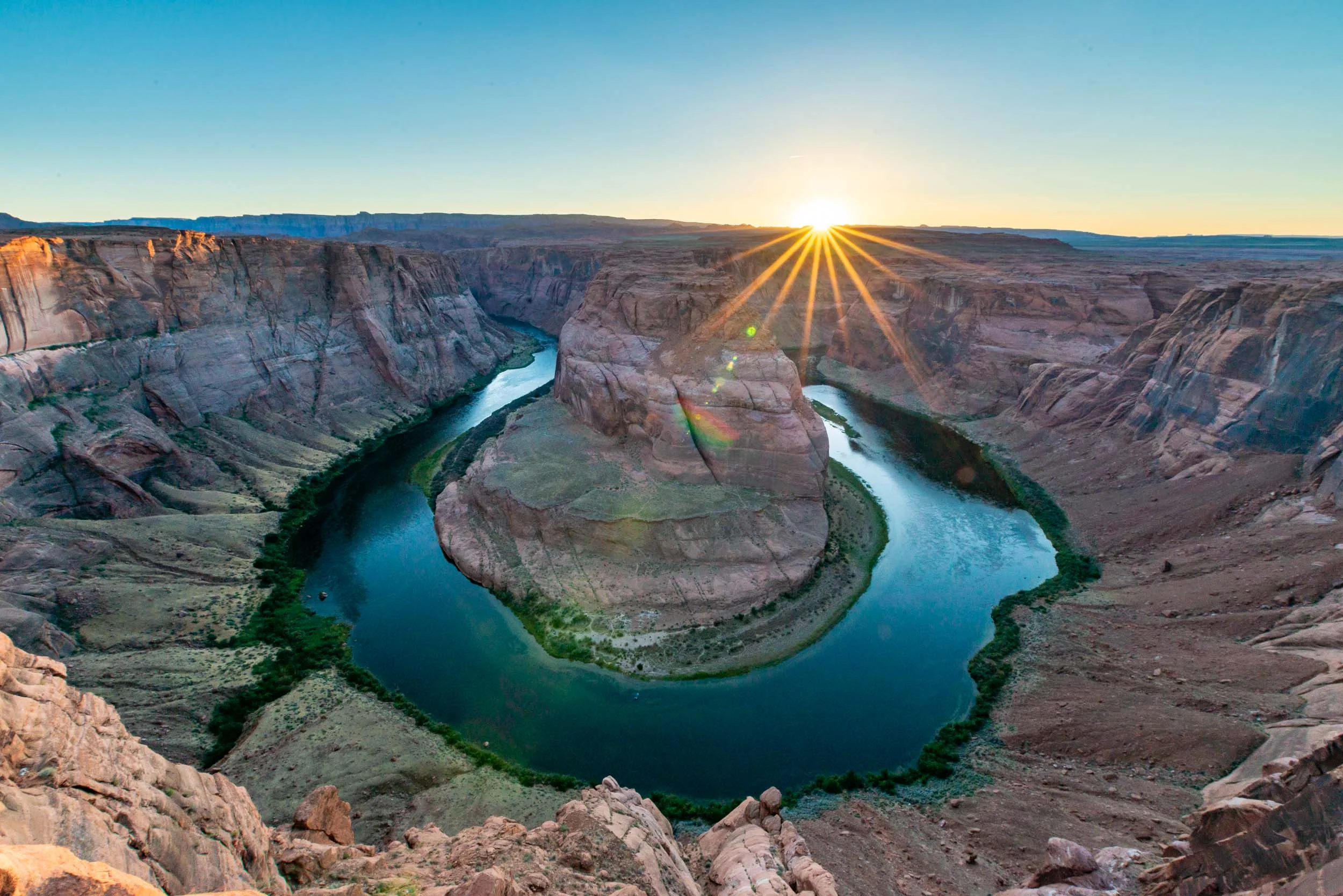
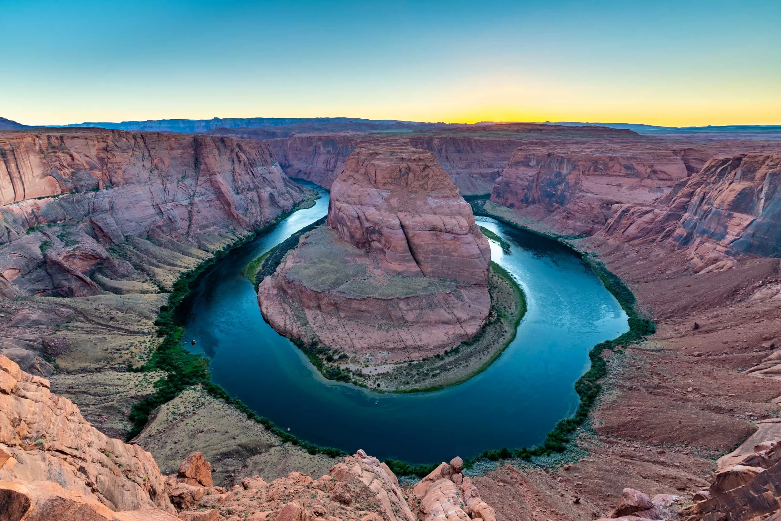
Once the soft orange glow from the sunset disappeared behind the horizon, it was time to get some rest before my first day in Zion.


Day 2:

Another few hours of driving, and I reached the east entrance to Zion National Park. This side is quiet and distant from any nearby city, unlike the southern entrance which is surrounded by the city of Springdale and has a direct bus line into the park. This separation betrayed a quietness and stillness to Zion that, unfortunately, I would find to be a bit of a misunderstanding.

Once I reached the west side of the park and made my way to the visitor center, I then saw the line of cars beyond the southern entrance as far as I could see. At 7:30 in the morning, I found one of the last remaining parking spots at the visitor center before cars were turned away and told to park in town and walk or take the shuttle. Then, to get on the shuttle into the canyon (private cars are not allowed onto road that runs north into the main canyon with access to most of the trails), the wait was already around an hour. This level of crowds would continue during my stay, but I tried not to let it deter me.

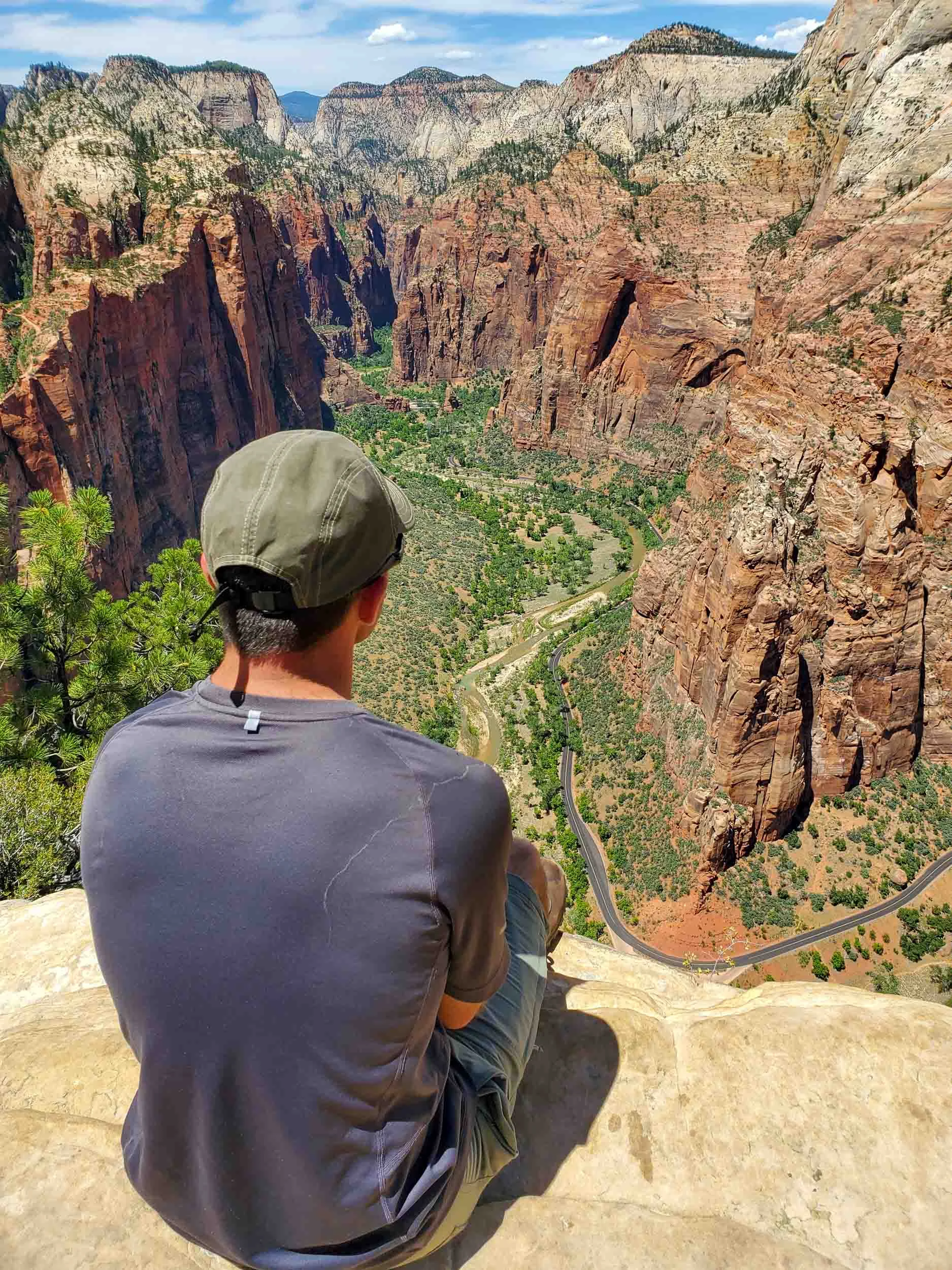
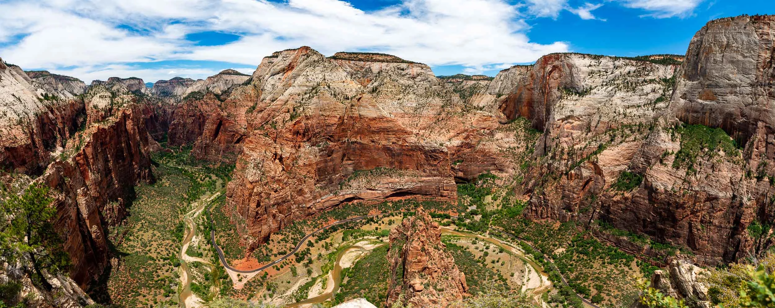
The first sight was Angel's Landing. The hike begins from the canyon floor and climbs to a pinnacle far overhead that can be seen from many points in Zion. It is a relatively short trail at just under 3 miles each way, but with numerous switchbacks up the canyon wall. Near the top, the famous trail turns into a narrow, rocky climb with sharp drop offs and a chain installed as a lifeline for those who choose to continue.
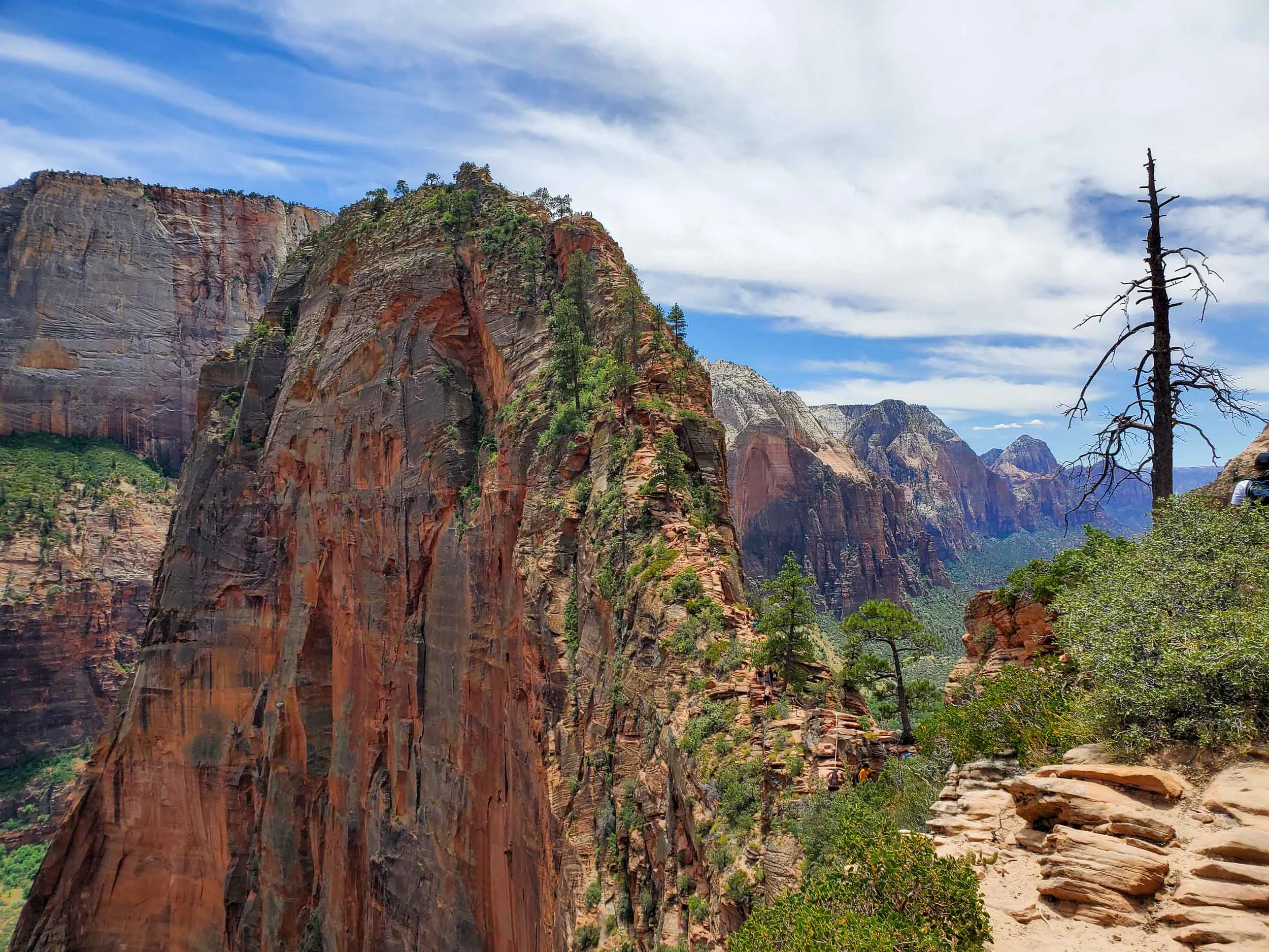
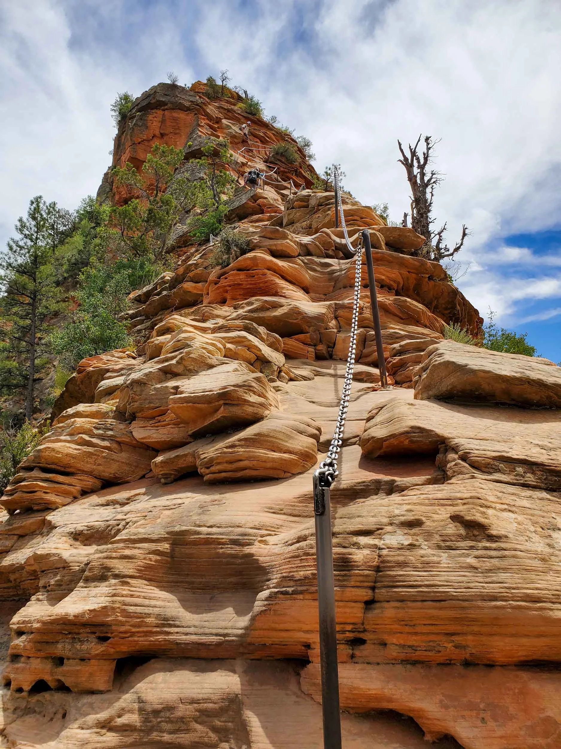
The trek rewards travelers with a stunning view of an intensely colorful and vertical canyon in every direction.
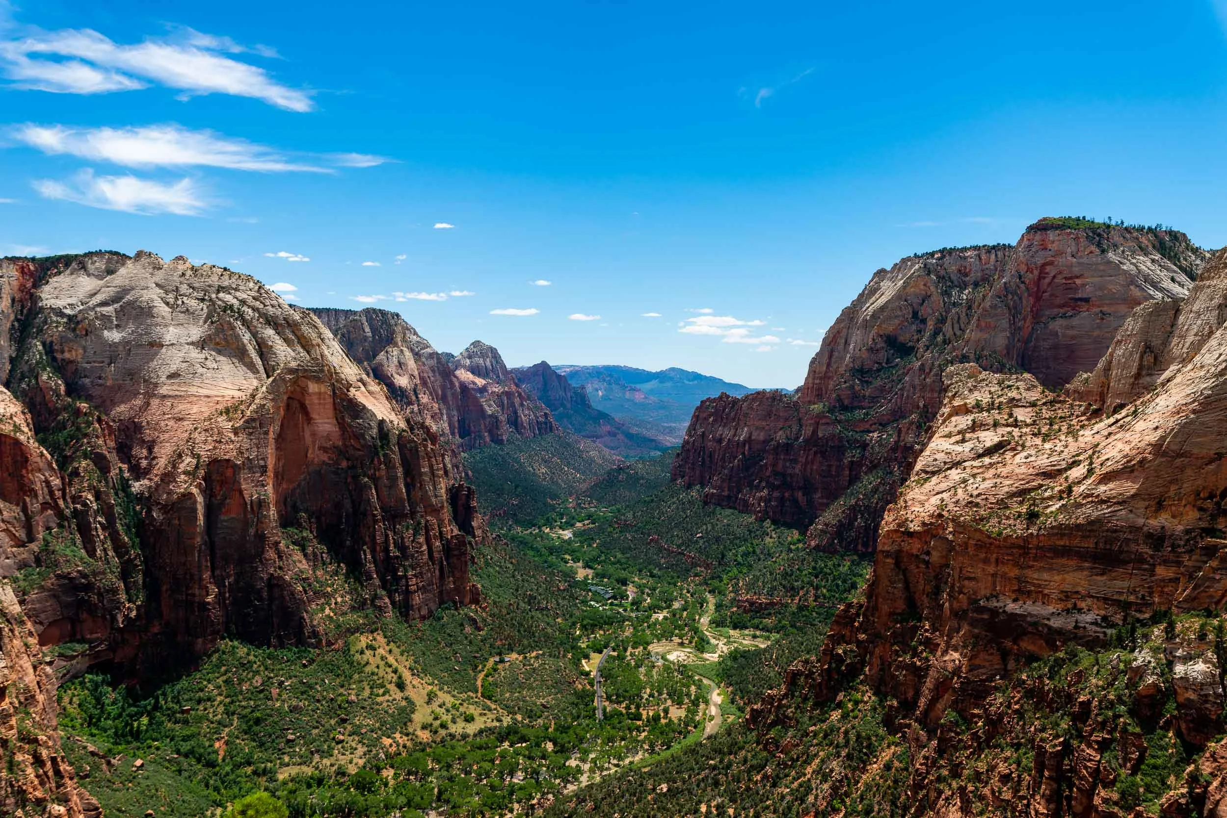
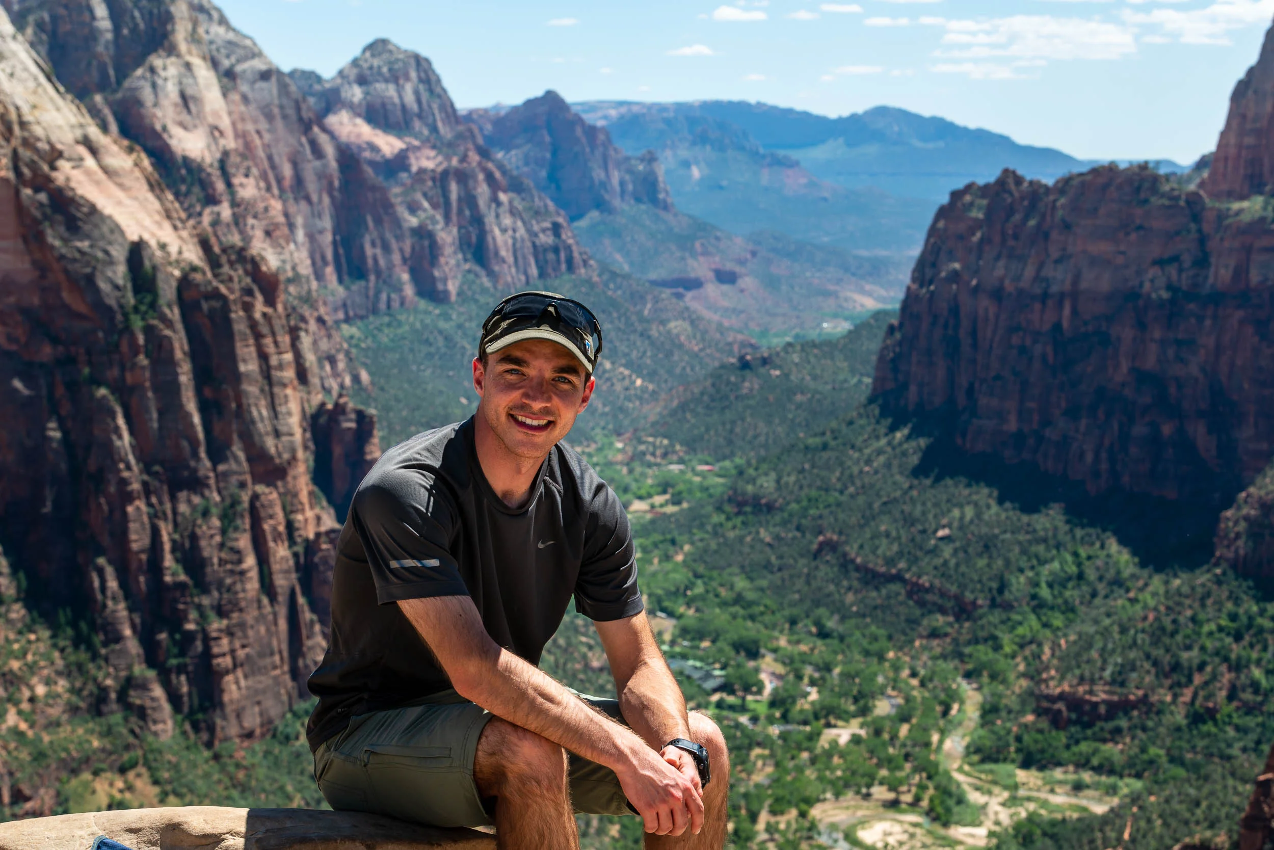
From there, I began the journey back down, and after getting something to eat, I settled into position at my next location for quite some time.

That night I visited the 2nd location: Canyon Junction. This is the intersection between the east-west running road I drove in on and the drive into the canyon. At this point lies a bridge across the Virgin River, with views down to the south of "The Watchman" far down the river.

It is a wonderful place at any time of day, but I decided to wait here for several hours as the sun went down and the clear sky revealed innumerable stars with a surprisingly clear view despite the light emanating from Springdale around the bend. In these early summer months, I had to remain here until well after midnight, but it was worth the wait. The Milky Way seemed to be an extension of the river's water high into the night sky.

I only went out for a walk, and finally concluded to stay out till sundown, for going out, I found, was really going in.
— John Muir

To top off such a sight, I ended the night with a calm walk along the Pa'rus trail from Canyon Junction back to the visitor center. This trail is made to be accessible and is relatively wide and paved. So I turned off my headlamp and walked for about 2 miles in near complete darkness, with only the stars to greet me above and the sound of cicadas surrounding me as I made my way back to my car.


Day 3:

Another day in Zion. This day I would hike another well known trail: The Narrows. In reality, the Narrows is less of a trail, and more of a way to simply hike through the river itself in a section of the canyon that is of course, very narrow. Steep walls surround you as you make steps through deep, cold water, sometimes with relatively strong currents. But this doesn't deter thousands of people from visiting.
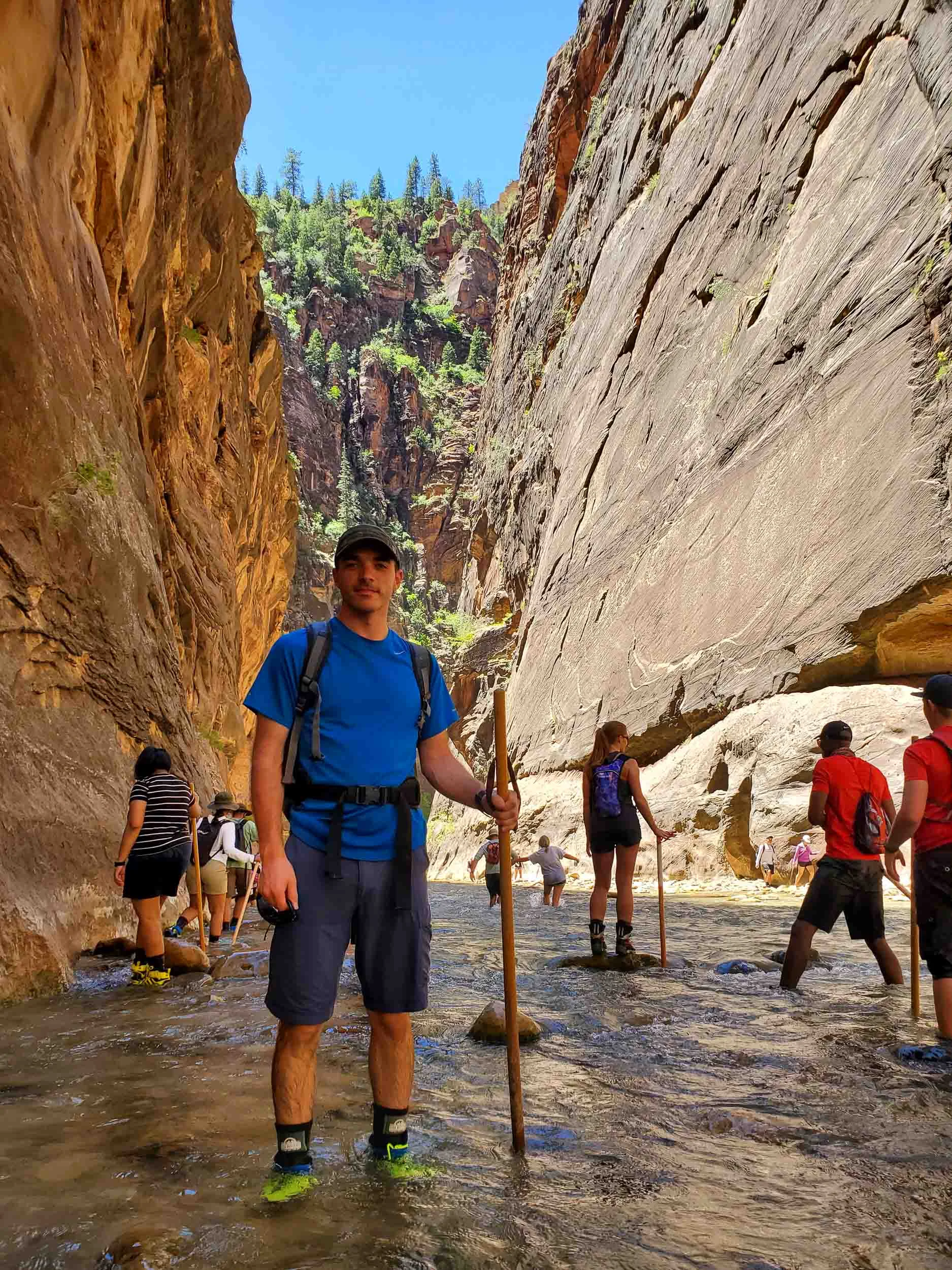
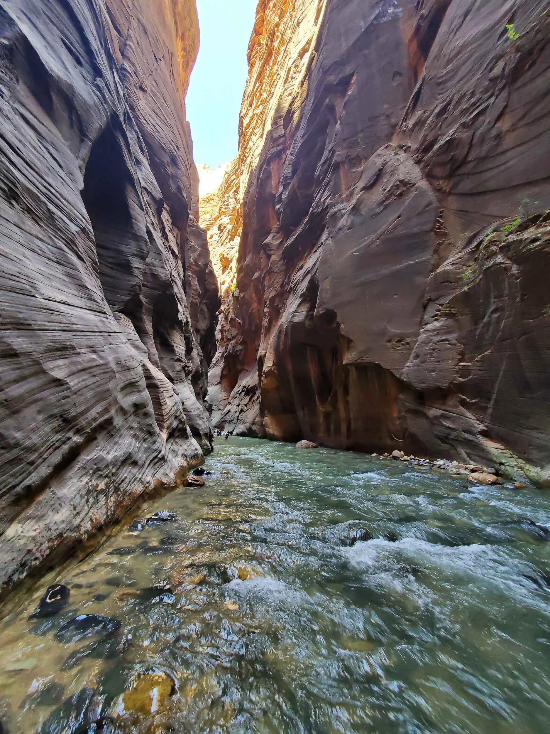
After wading through water ranging in depth from the tops of my ankles up to waist high for around 6 hours, I was a little chilled despite the summer heat, and exhausted from my long night under the stars. It was time to head back and sleep before the return trip.


Day 4

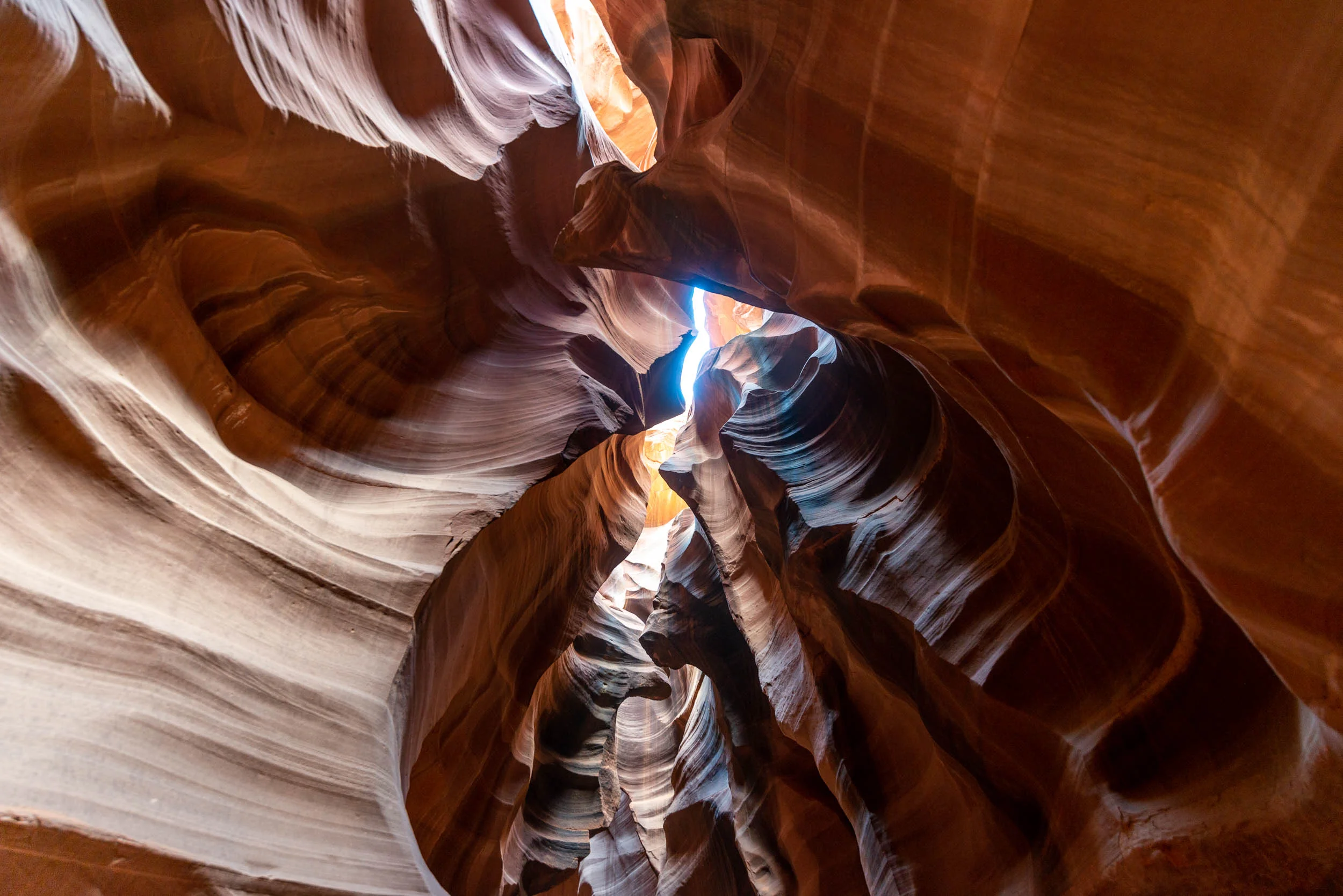
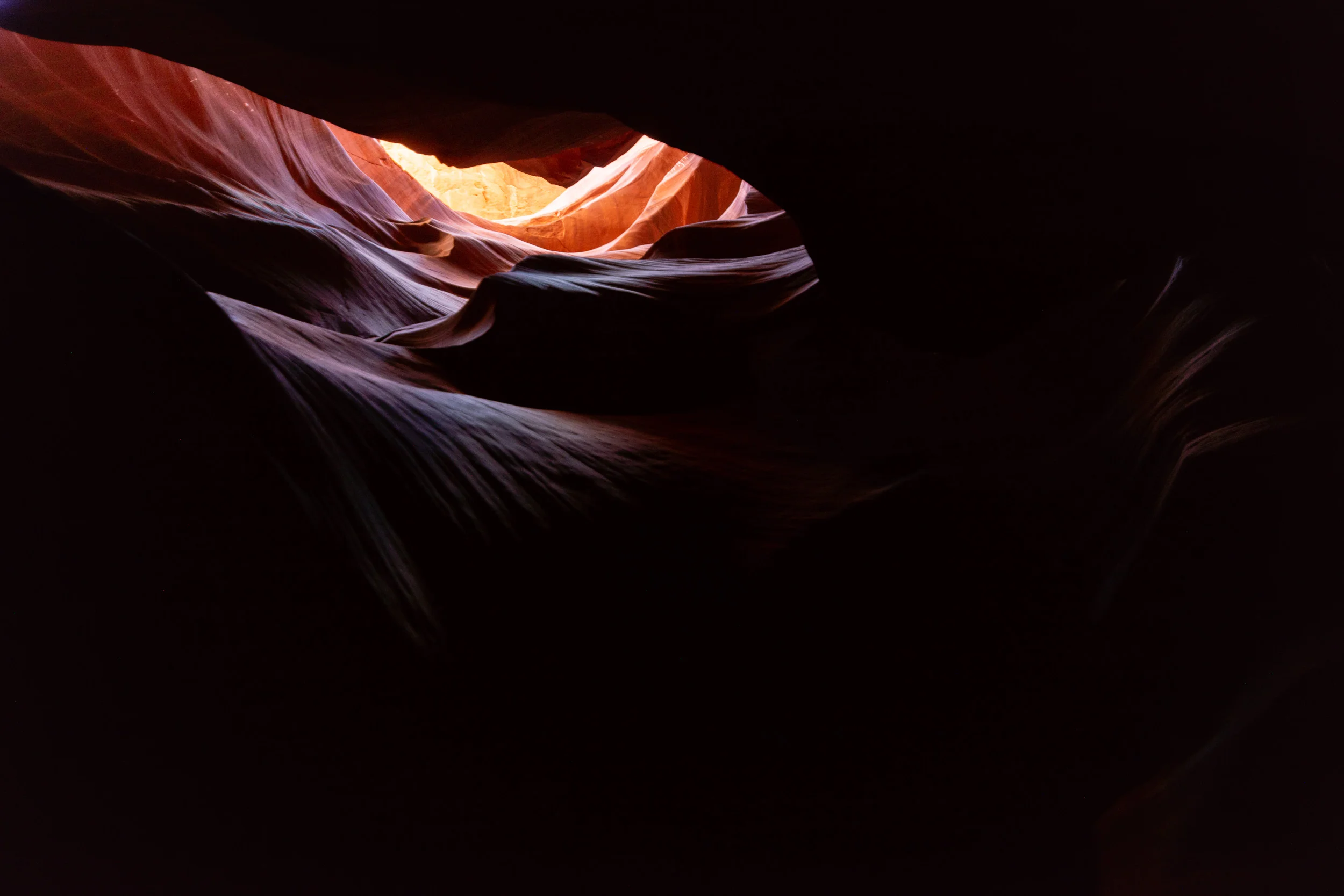
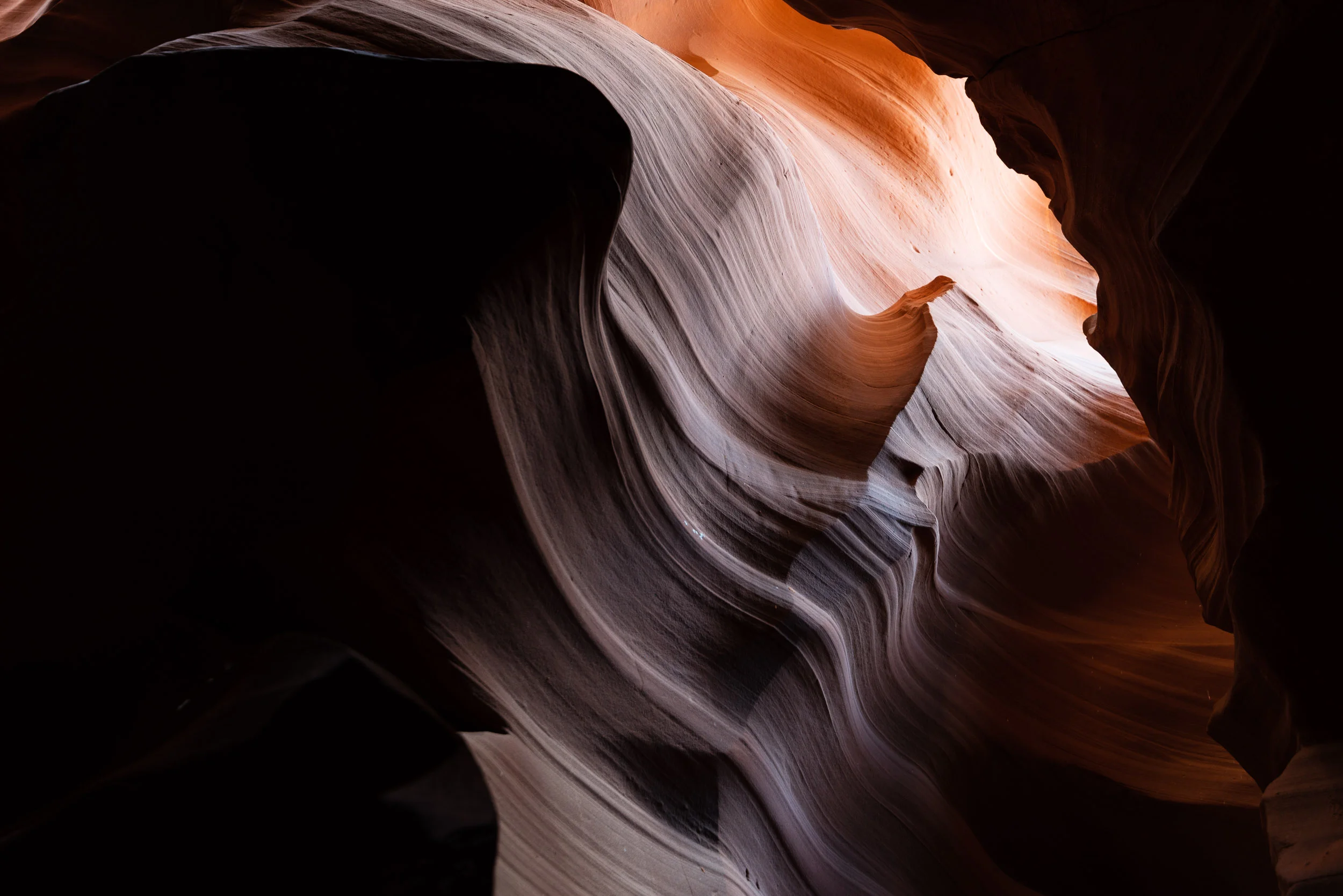
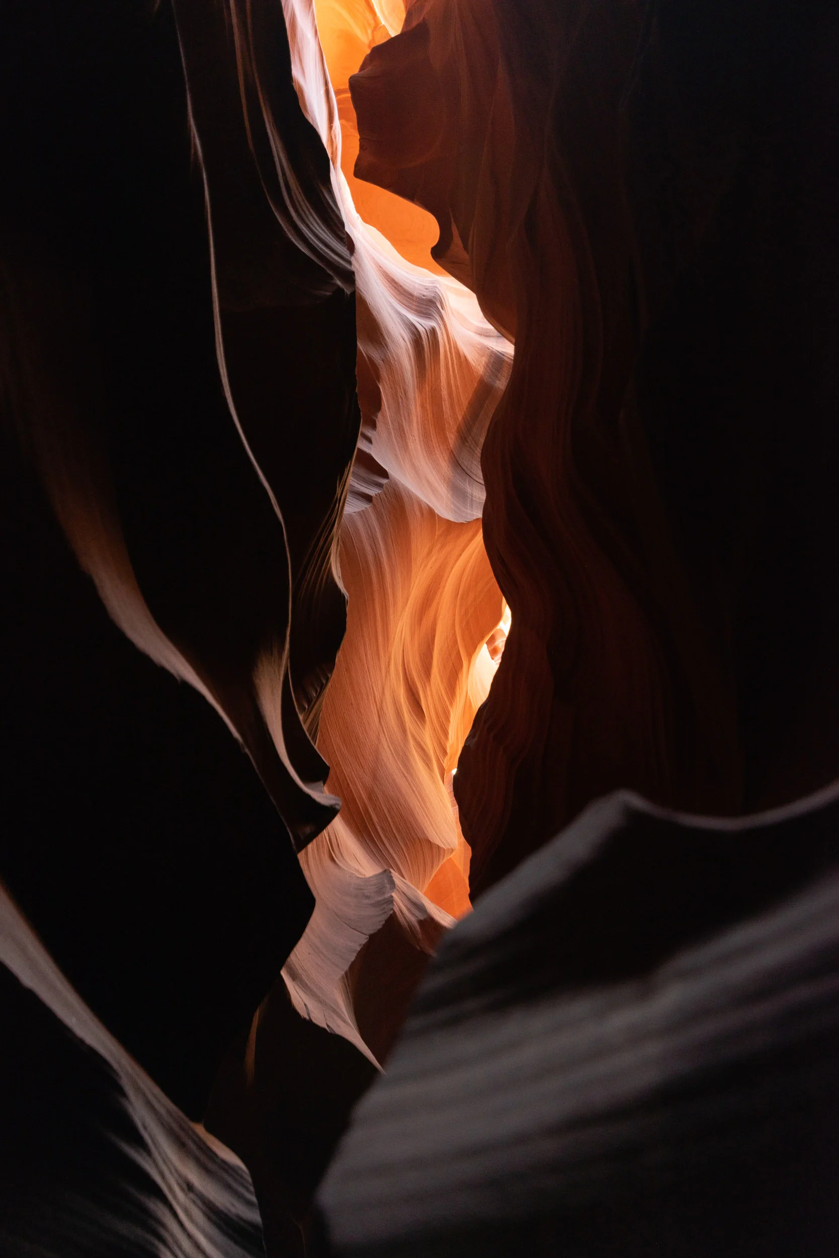
I had one more stop, again in Page, Arizona, as I made my way back. This time, I visited Upper Antelope Canyon. Dwarfed in size by Zion, Upper Antelope Canyon is a small slot canyon in the Navajo reservation that is famous for its smooth, undulating walls and colorful orange stone. It is also known for visible rays of light pouring into the canyon at midday. Since I had to keep driving home after this point, I couldn't stay for that particular sight, but I did make my way through on a tour into the canyon nonetheless.
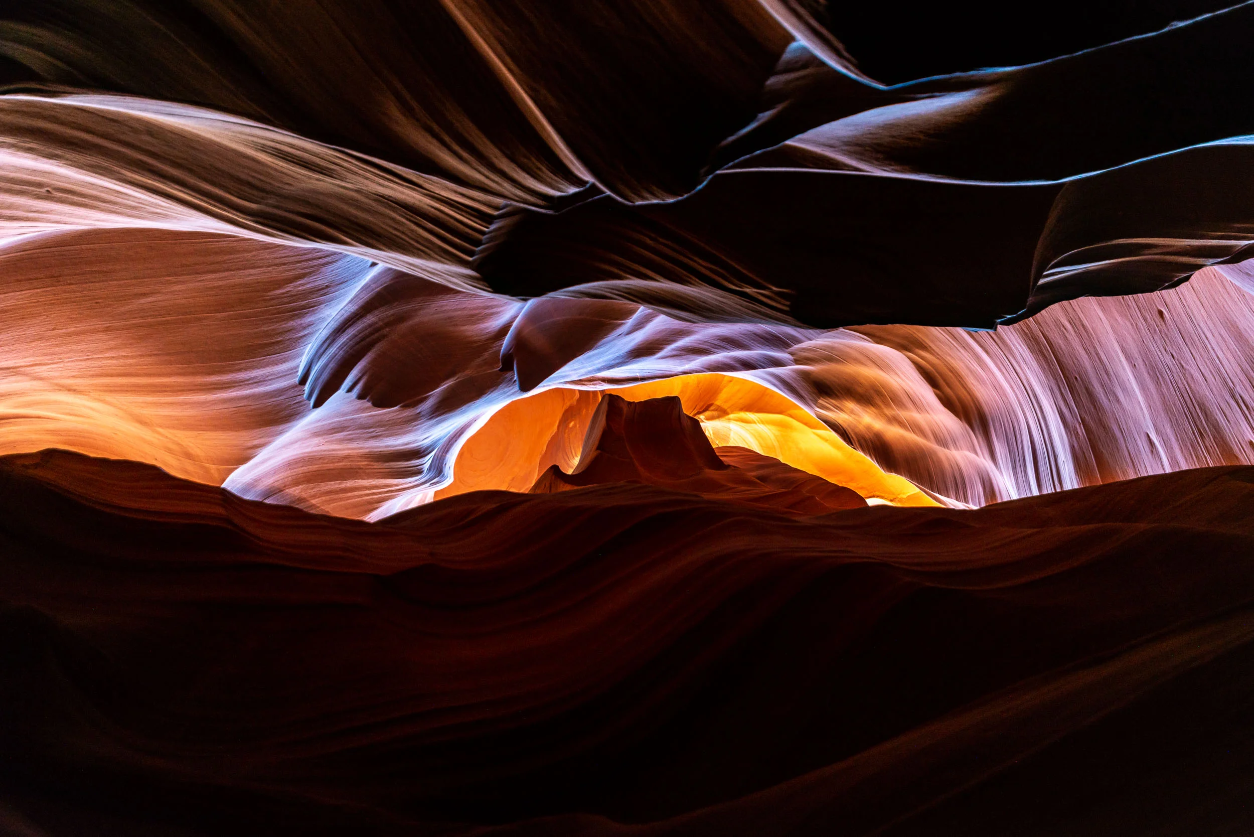
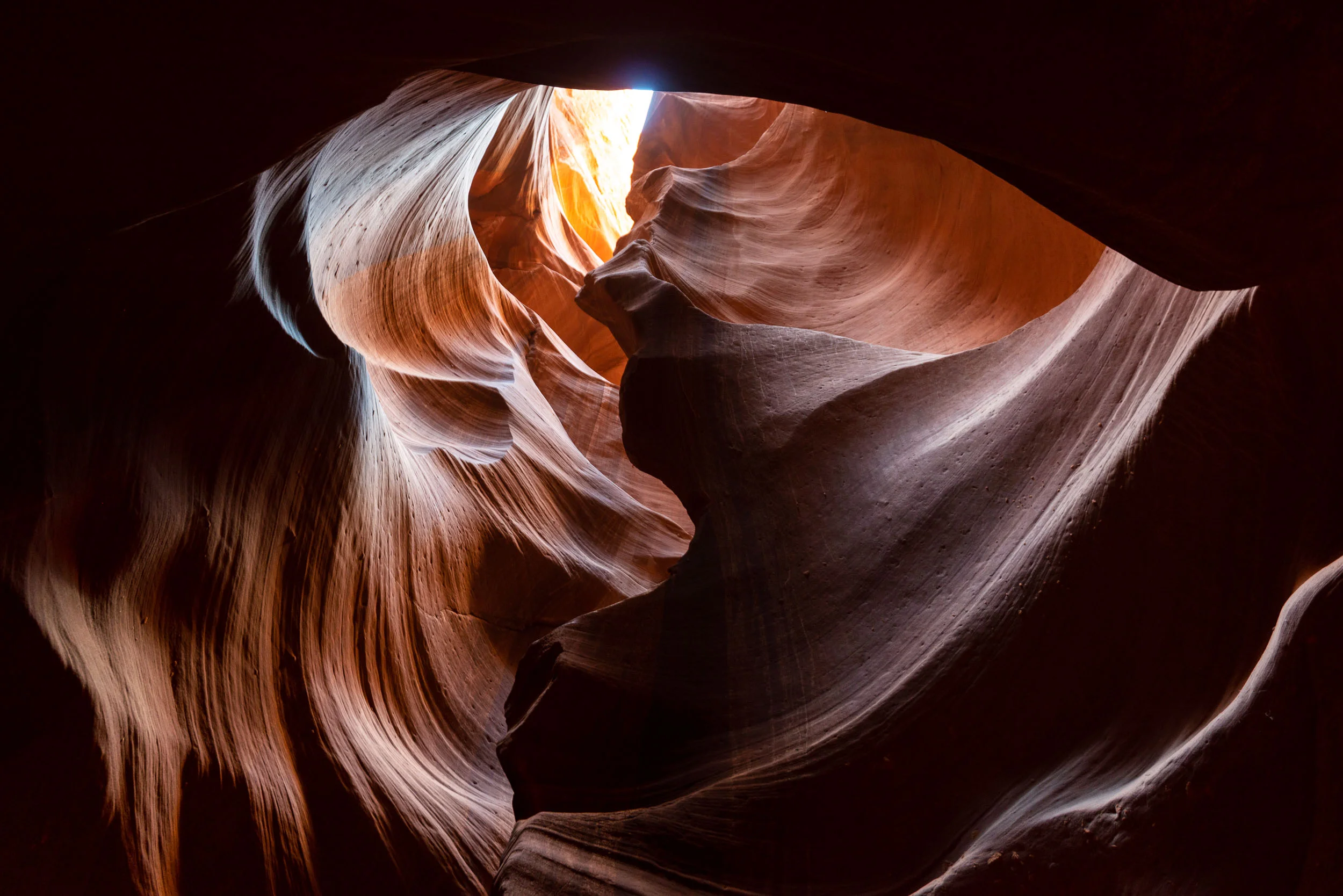
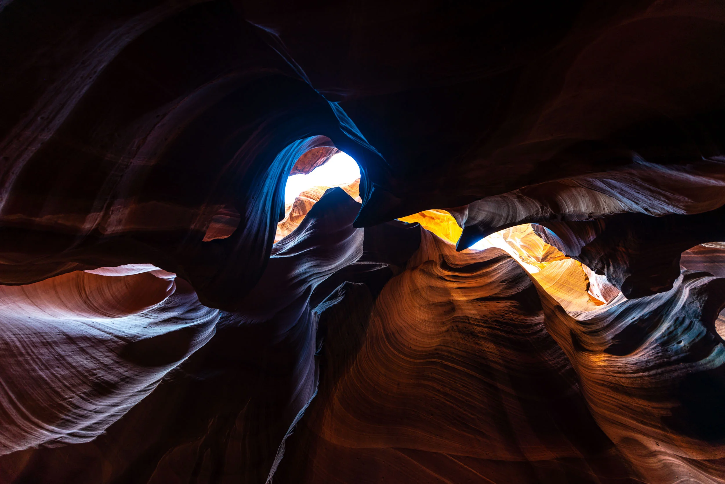
This weekend offered a variety of views and experiences that I will not forget. Time to prepare for more adventures.
Yosemite Valley by Paul Amengual

I decided to go on an adventure out west to Yosemite National Park, with a brief stop at San Francisco, to (El) cap off the year of 2018. After a long trek out, it was a worthwhile trip for beautiful views, difficult but rewarding hikes, and great interactions with fellow hikers on the trail.


Day 1:

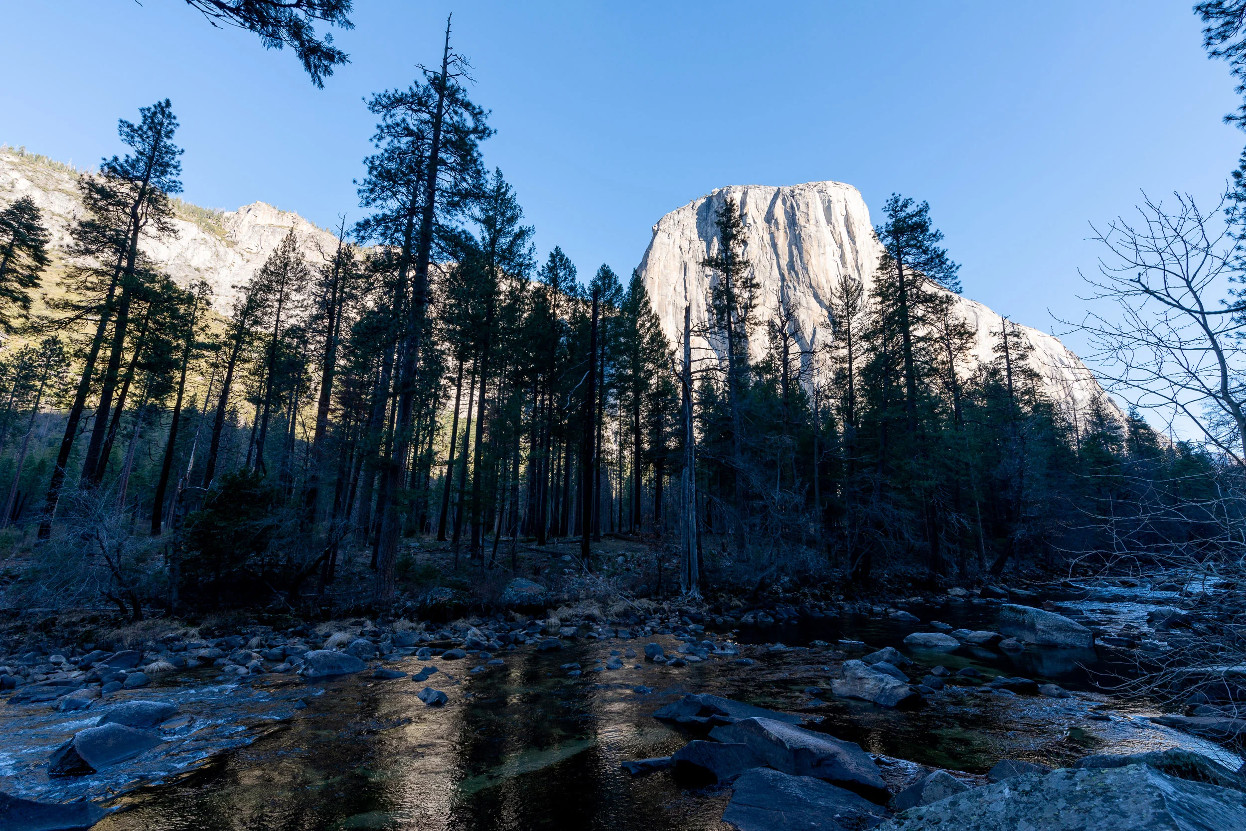
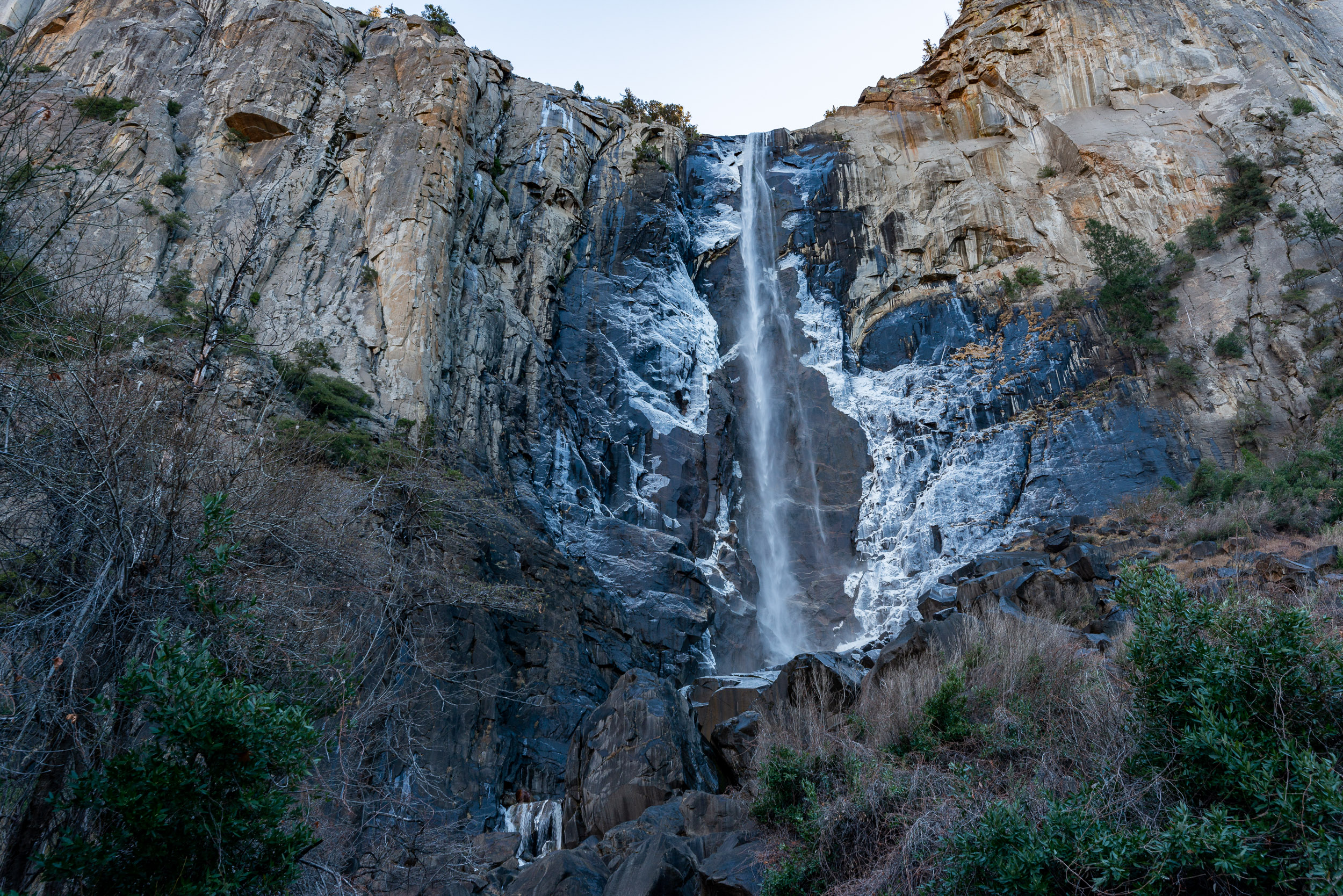
The long haul to reach the park, ending with stunning first impressions of the most famous location in the park. I flew home to visit the family in Florida for Christmas, so I hopped on a 6 hour flight into San Francisco, where I picked up a rental car and got on the road for the 4 hour drive to Yosemite, where I arrived just before sunset. After checking into the hostel where I'd be staying for the week, exhausted from my travels, I decided to make the most of the time that I had by continuing the drive into the western gate to see Tunnel View and watch the sunset. Tunnel view is located at the western end of Yosemite Valley, and is the classic view made famous by photographer Ansel Adams that most people think of when they picture Yosemite in their minds. From this spot, you have a clear view down the valley, highlighted by the enormous granite faces of El Capitan to the left, Half Dome straight ahead, and Bridal Veil Falls flowing to the right. After driving through steep, winding roads with high valley walls on either side for some time, and turning to go west along Wawona road, I was finally greeted by the view. The sun sets at your back from this point, but as the shadow of the southern valley wall begins to engulf El Capitan, the sunlight hitting the peaks turns a vibrant red and orange color that is beautiful to see.

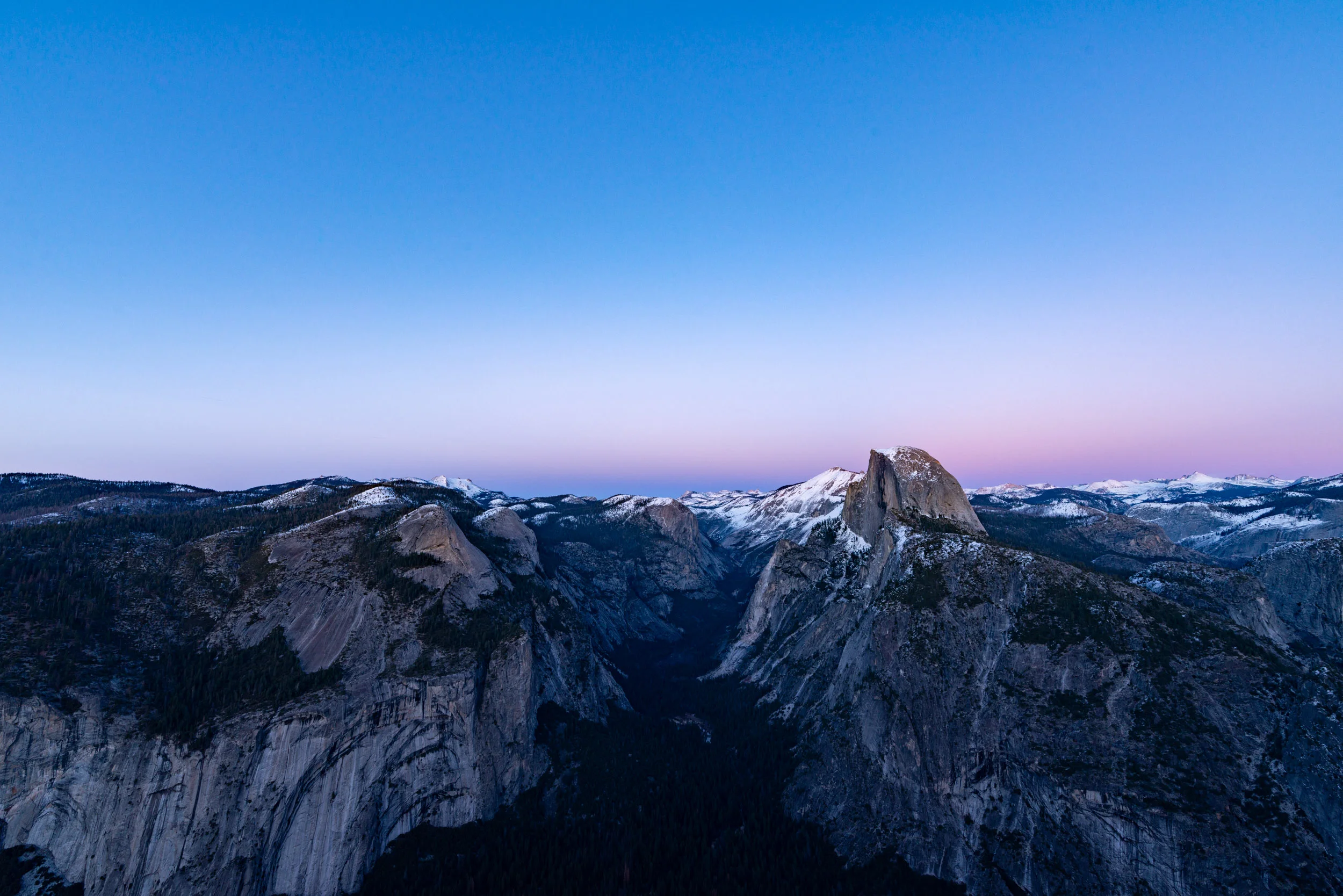
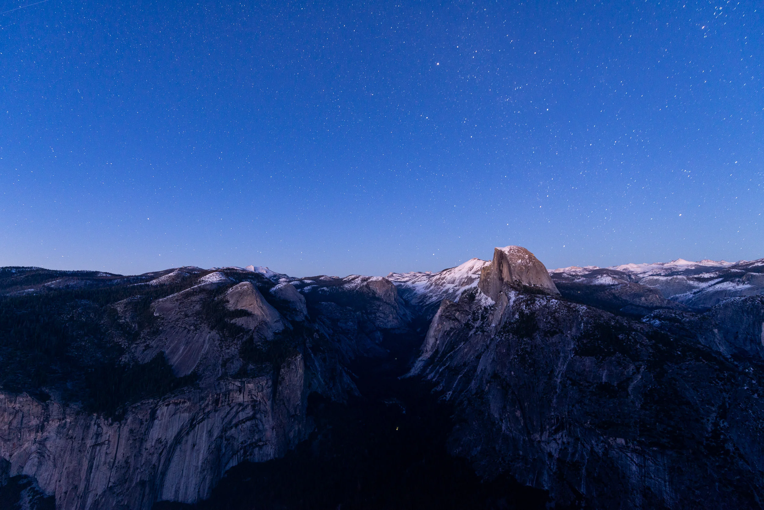
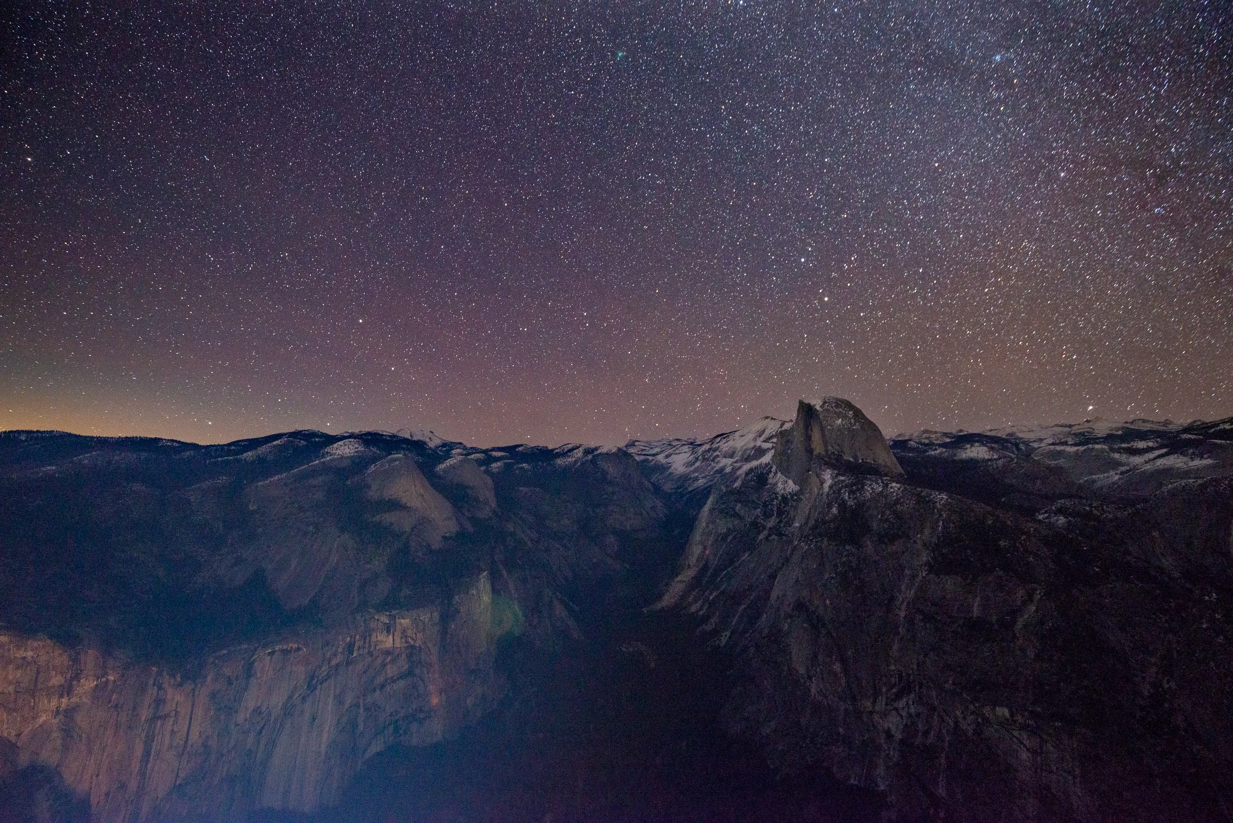
I decided to continue to stay for a time after the sunset and watched as the light faded and the sky gained a faint pink hue, followed by the deep blues of blue hour, followed by the stars peaking through as twilight ended. A dynamic time at a unique place.

All in all, a success! At this point though, I was cold and needed sleep. After a quick phone call home, it was time to pack in for the night.

When words become unclear, I shall focus with photographs. When images become inadequate, I shall be content with silence.
— Ansel Adams

Day 2:

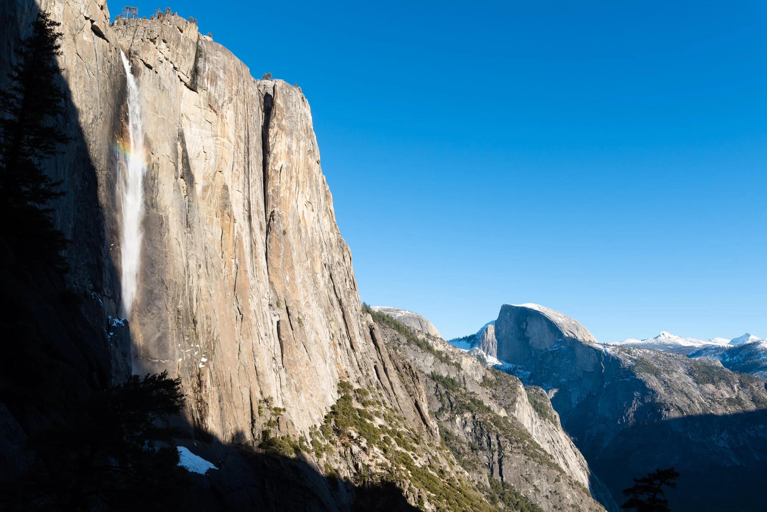
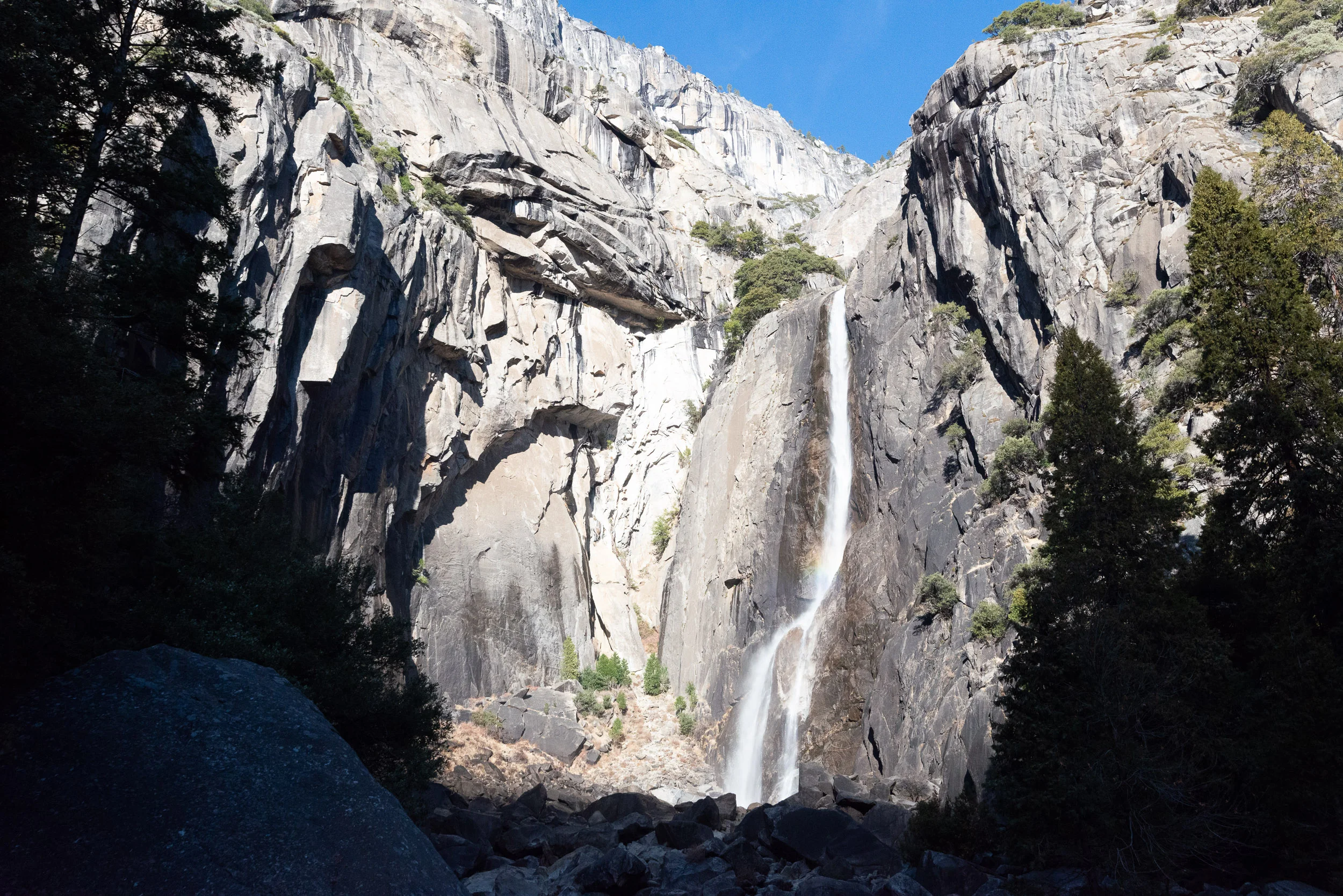
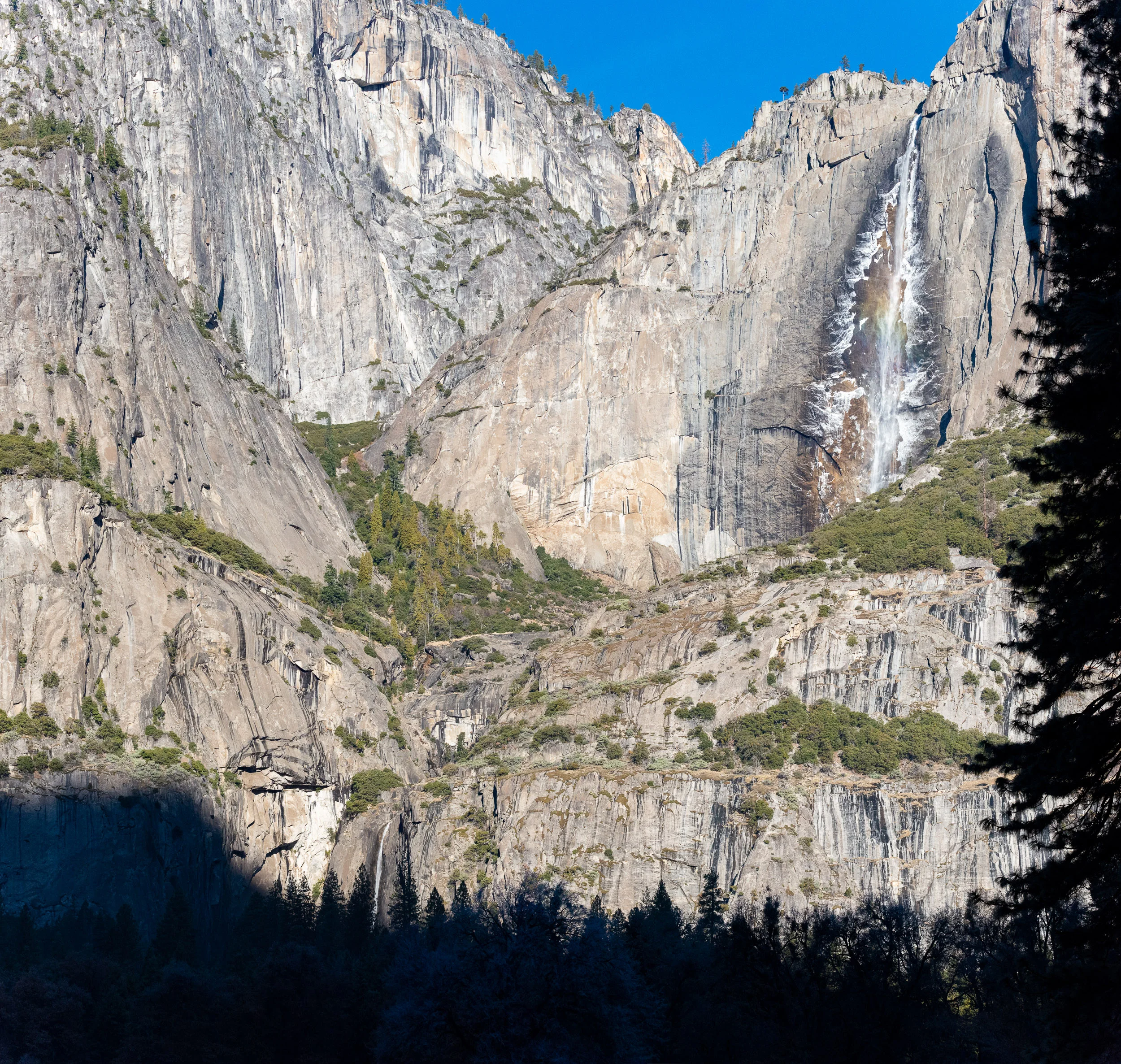
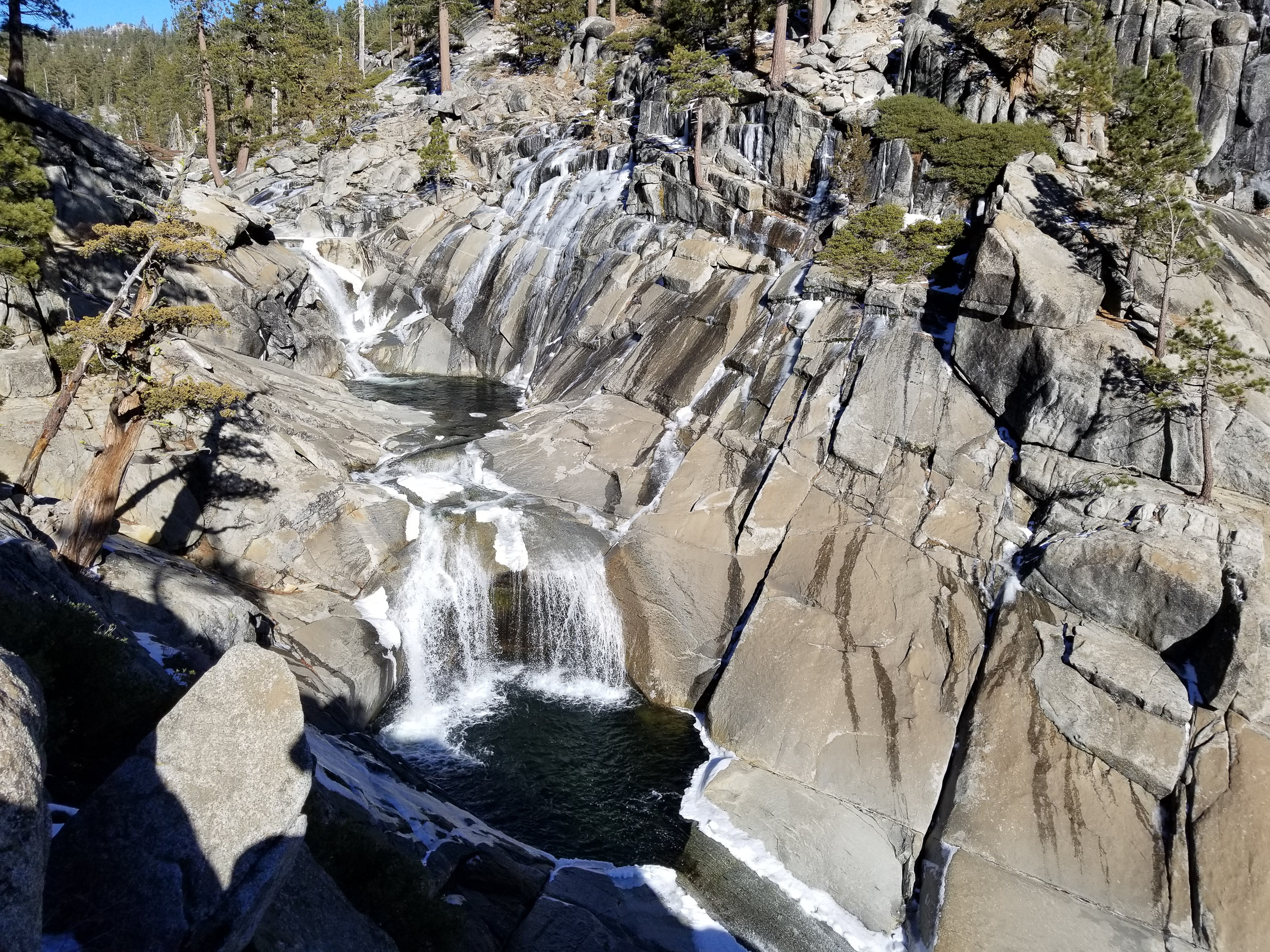
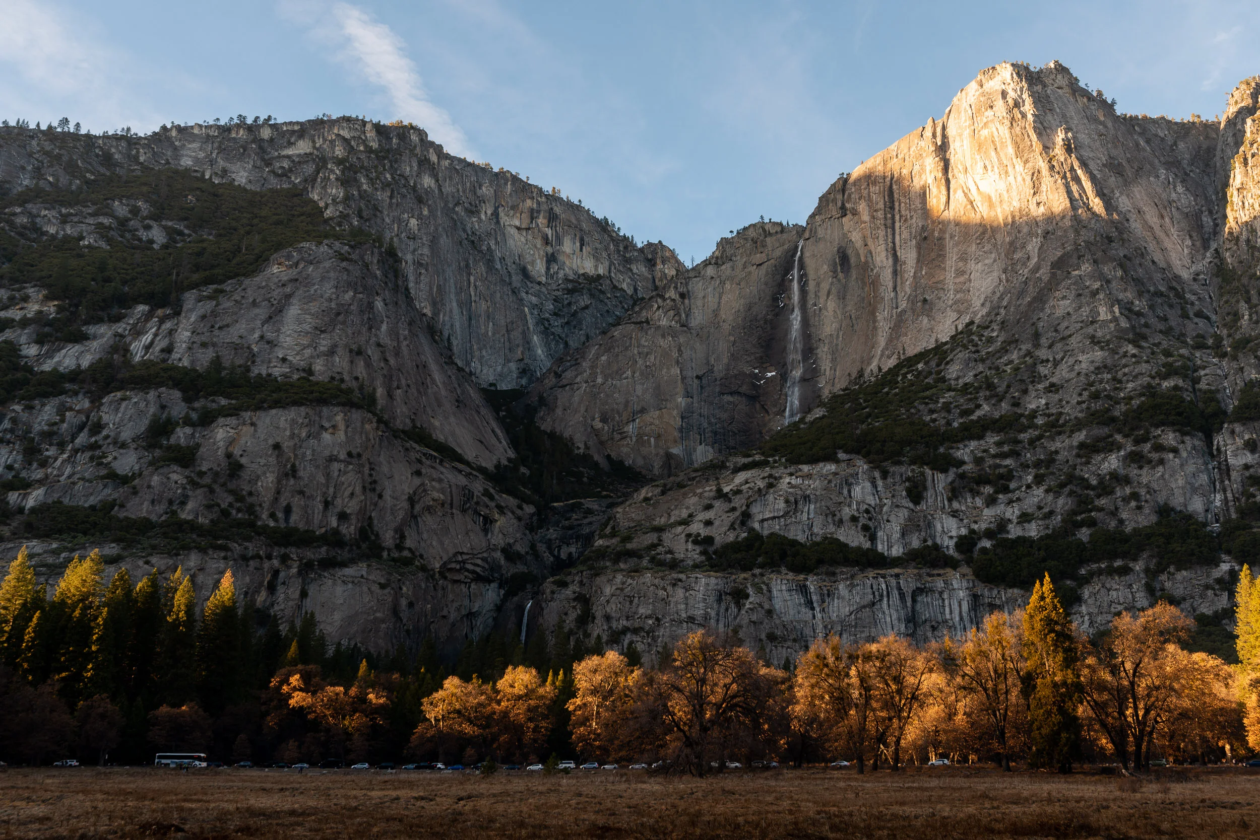
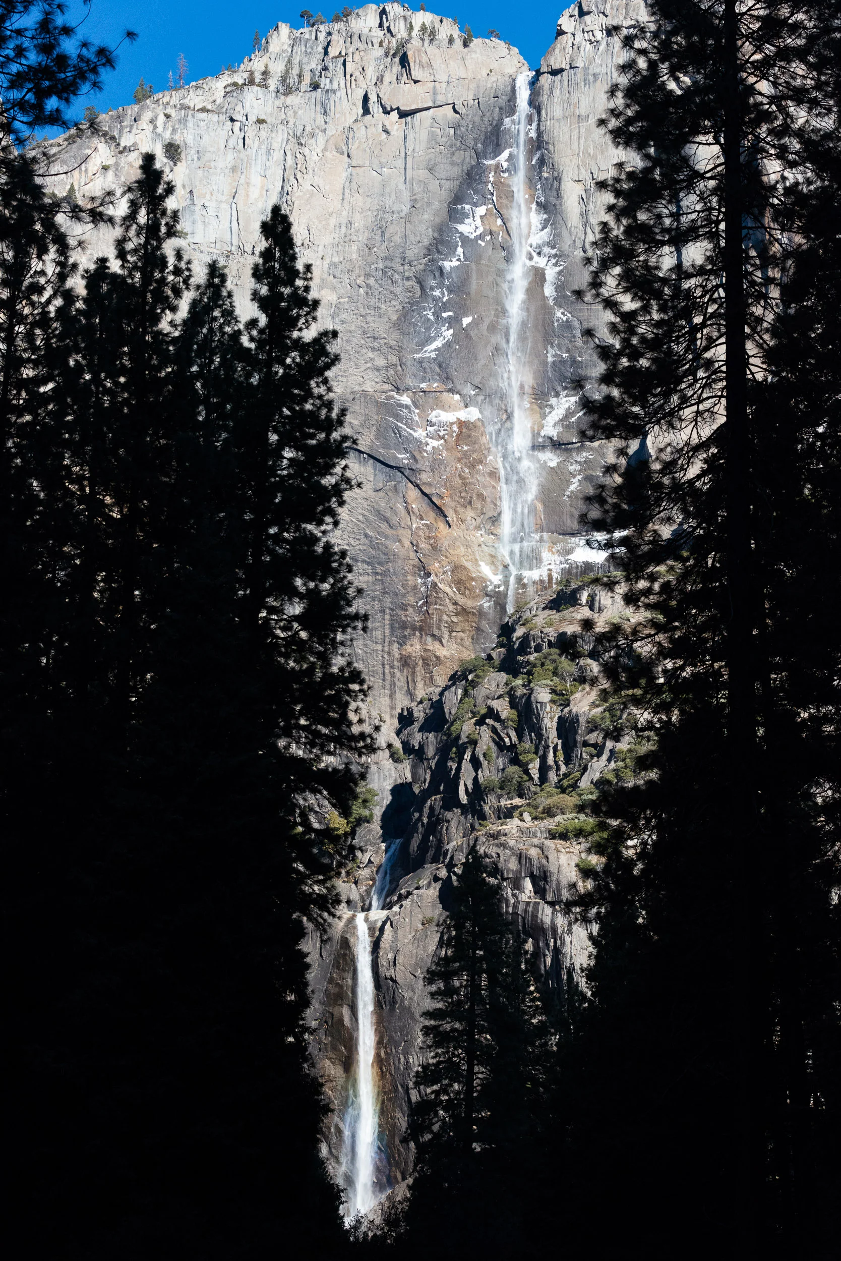
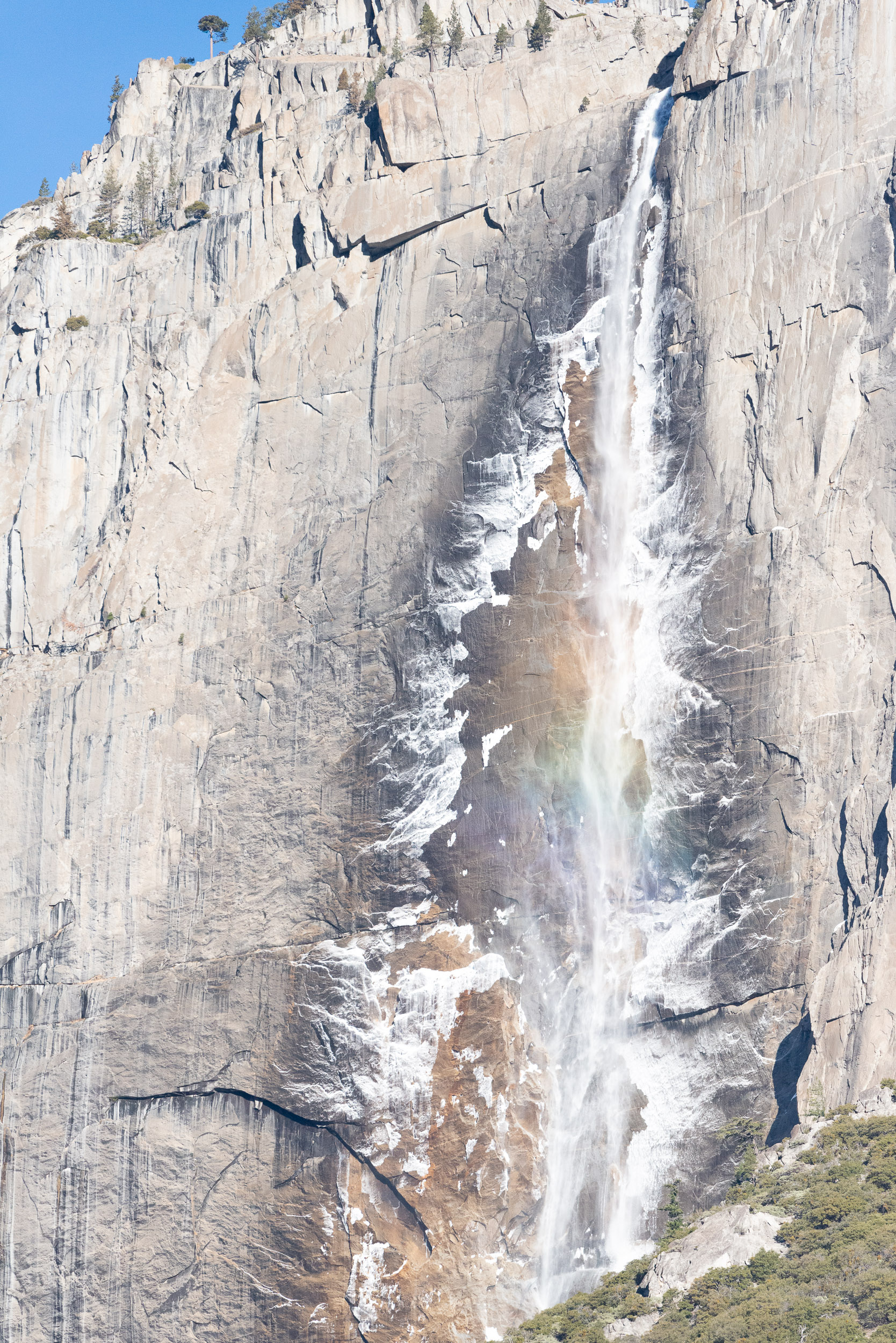
The highlight of today would be Yosemite Falls. Despite numerous waterfalls in the valley being present, this one gains the name of the valley itself from the being the tallest in North America, and one of the tallest in the world, falling over 2400 feet from the top of the upper falls to base of the valley. It is actually split into 3: Upper Yosemite Fall (1,430 feet), the middle cascades (675 feet), and Lower Yosemite Fall (320 feet). Peak flow for the waterfalls in Yosemite is during the spring due to snow melt, and Yosemite Falls actually stops running completely during the peak of the summer time, but at this time during the winter it was still flowing, enshrining the walls of the valley in layers of ice and producing a deep cone of ice at its base. As I would come to see each day this week, the falls changed throughout the day as the ice that forms over night melts and crashes down from the wall each morning as the sun comes up, accompanied by a deep rumbling noise that I could hear as I walked. Both the upper and lower falls also sometimes gain a rainbow visage. I opted to make a day of it, starting with a walk around the easy 1 mile lower Yosemite Falls Loop, followed by the 7.2 mile round trip, 2,700 ft climb to the top of upper Yosemite Falls. Its an impressive place, and a steep hike to see it. Along the way up and down I chatted with other hikers, some from the area, and some from far away.

With the short days of winter in Yosemite, again I stopped at Columbia Rock to see Half Dome as the sun set, and then searched for a place to watch the stars. This stop was at Valley View.

Valley view is another, lower, viewpoint at the western end of the valley. It was difficult to see much as I stood at the edge of the water, but a little bit of patience was rewarded with a view including the reflection of the stars and El Capitan.

Another full day.


Day 3 and 4:

The next two days would be filled with a lengthy trip for another expansive view of the valley, this time at the upper rim. Glacier Point is a popular and easily accessible destination most of the year, but during the winter the road is closed to vehicle traffic and is only accessible on foot (be it boots, snow shoes, or skis). It's about 11 miles each way along the snow covered road. This hurdle makes it a wonderfully quiet place to come see. A Ski Hut with beds, a warm fireplace, and some food to make it through the night is also open this time of the year, so I stayed here. It was a long day in the snow, mostly shrouded by tall trees, and with a shallow uphill gradient for much of the way, followed by a steep descent at the end.

I finally made it in time to see the vista before the sun went down, and again stayed to watch as the daylight disappeared and transitioned to night. 

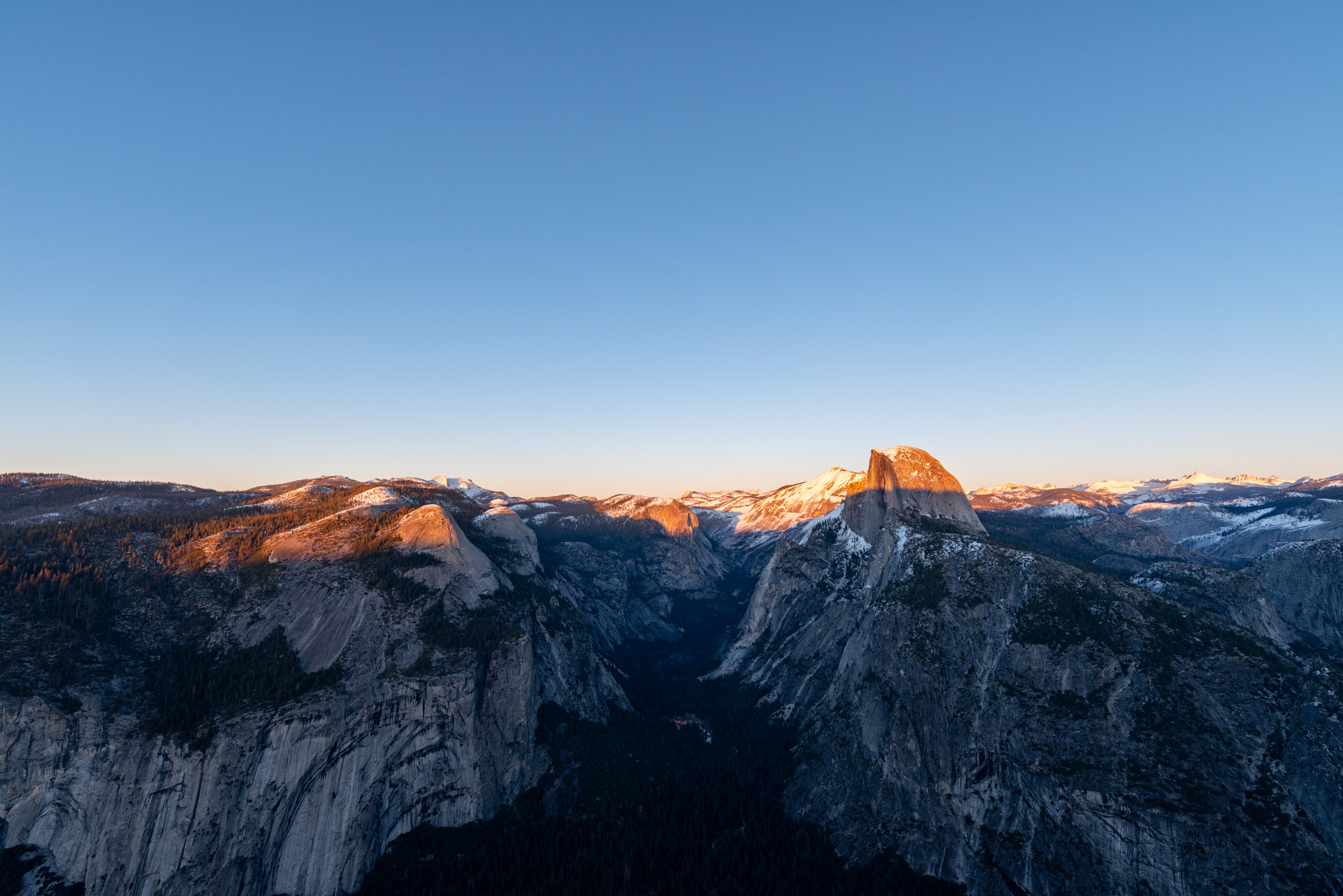
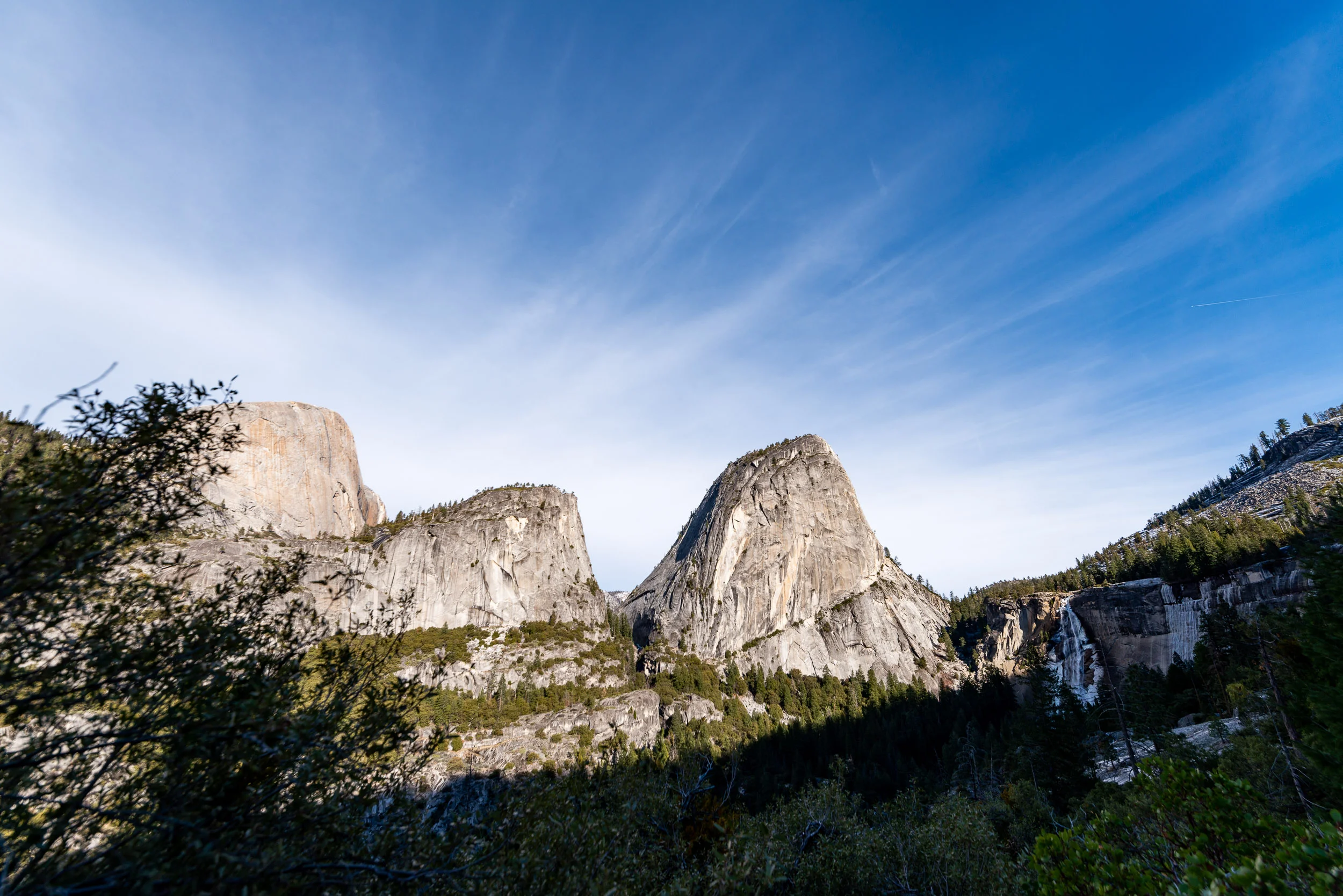
From here, you can see Half Dome standing prominently ahead of you, with Yosemite Falls far on the other side of the valley to the left, and Vernal and Nevada Falls to the right. More pink skies, twilight, and stars among the clear night air. After standing out in the cold for a bit on my own, I came inside and met the others staying at the hut, and spent some time helping a fellow traveler take photos of the night sky. After taking one final photo of the stone Geology Hut near the viewpoint under the stars of Orion, I headed in once again for the night, and prepped for the return trip the next day. 

The next morning I woke up early enough to stay out again and watch the sunrise.

After the trip back the next morning, I had just a little daylight left. I took a drive more casually around the valley and saw some more places, including Sentinal Bridge, Swinging Bridge, and the edge of Cooks Meadow, before taking a quick stop at the Majestic Yosemite Hotel, where I found a red carpeted entrance, an enormous fireplace, and a pianist playing, fittingly, Colors of the Wind.


Day 5:

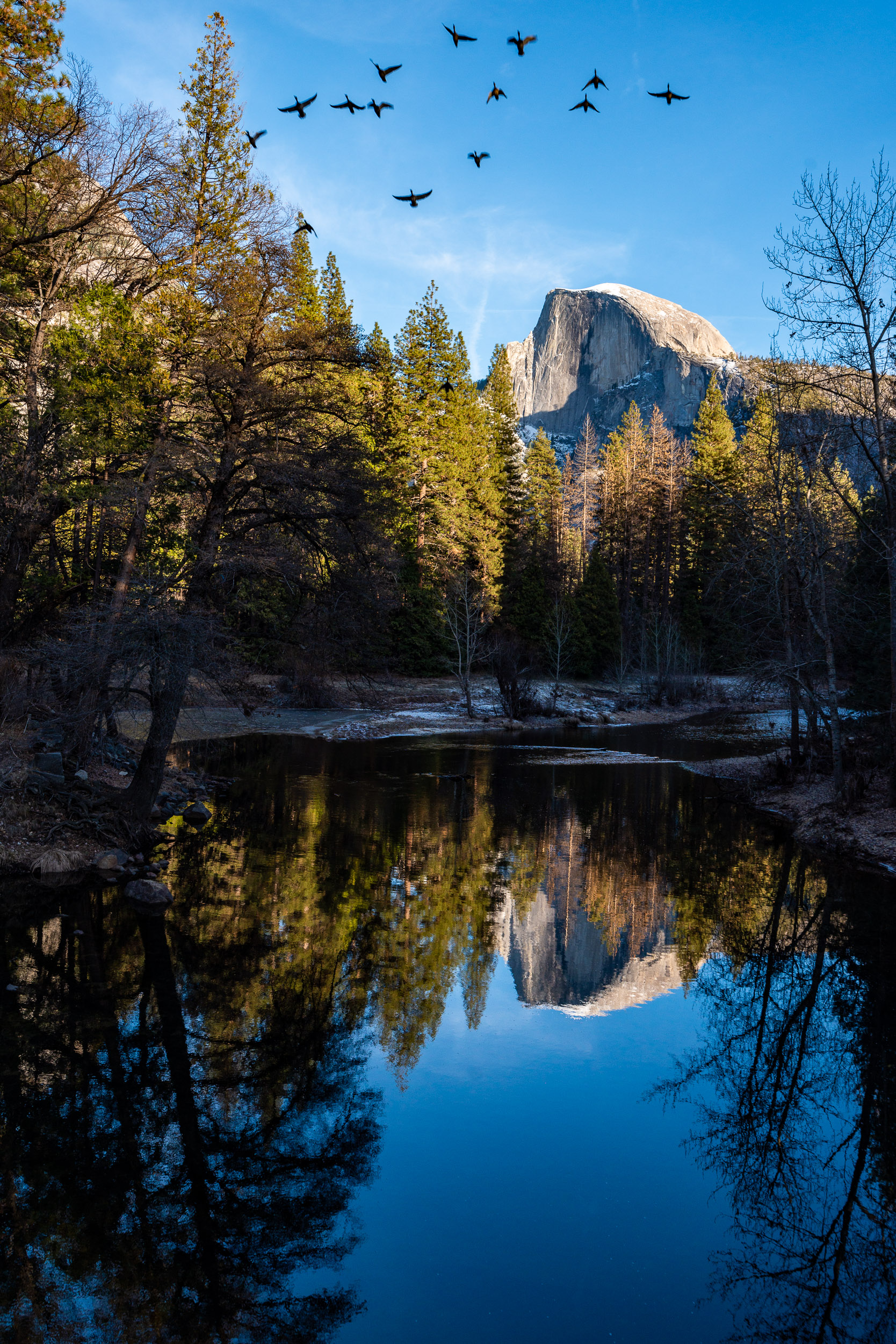
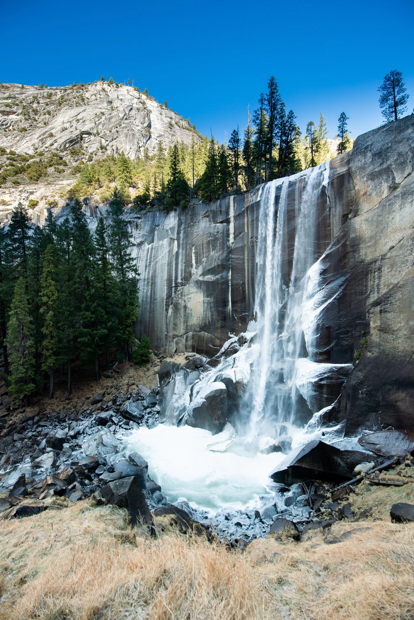
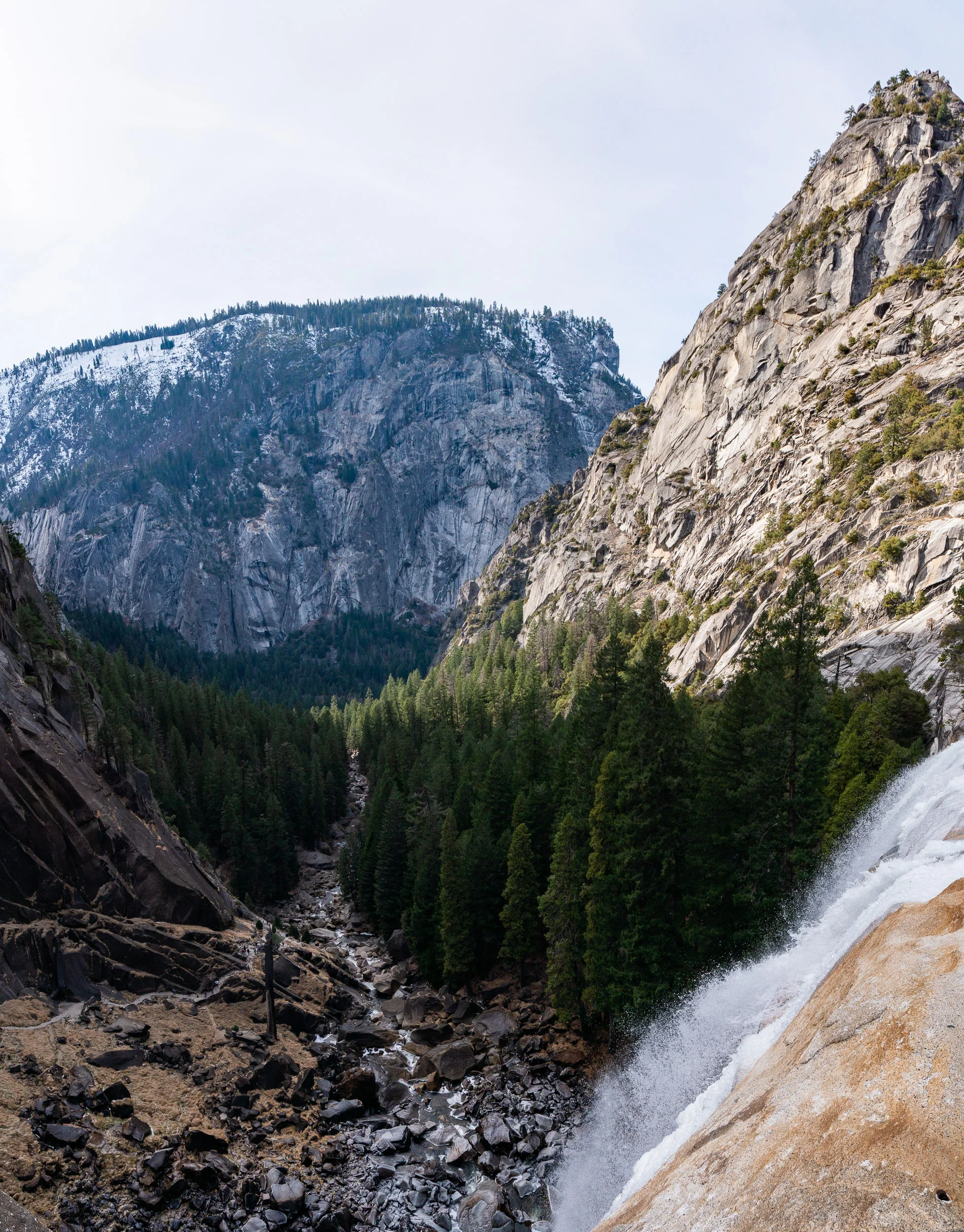
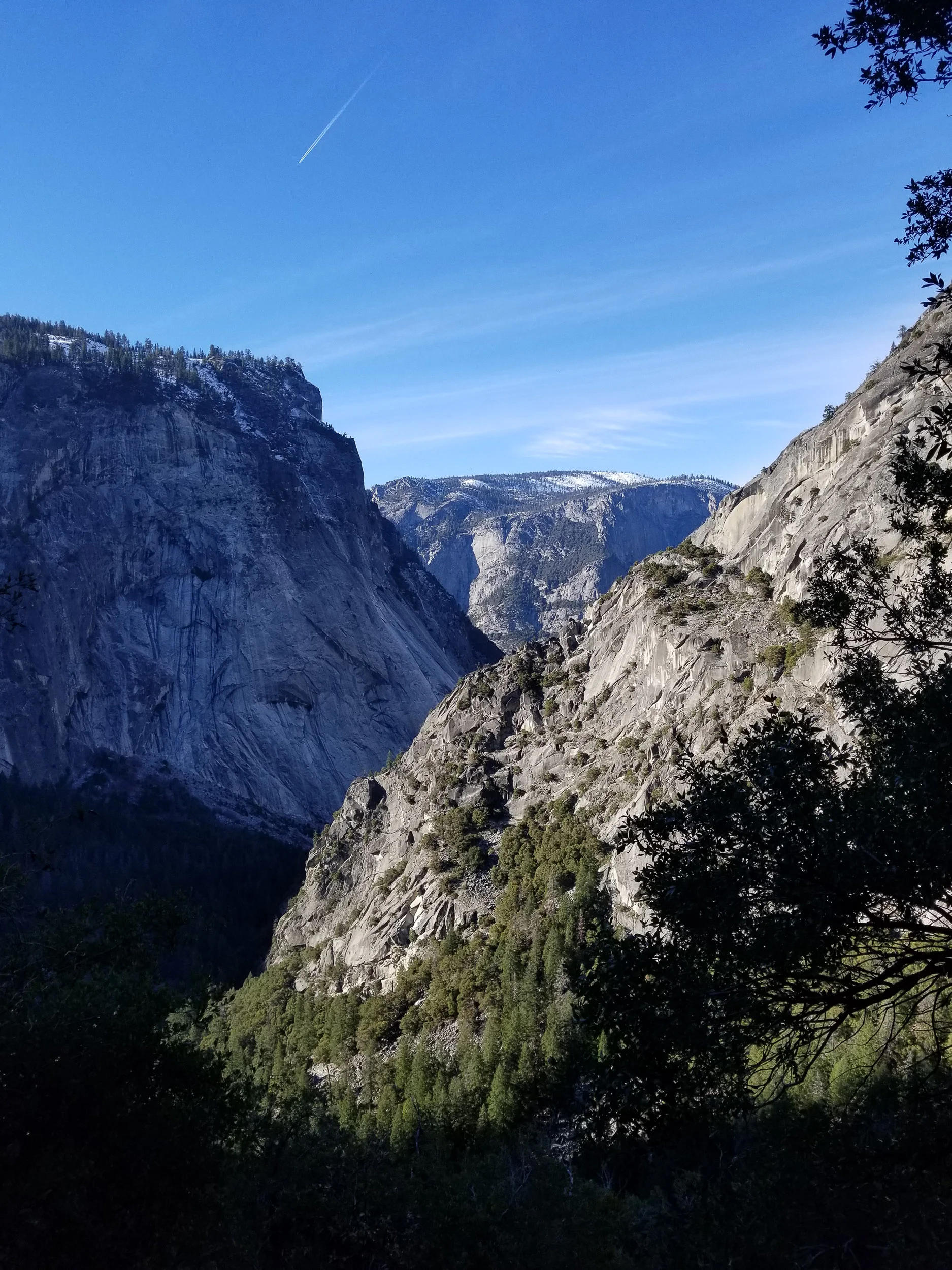
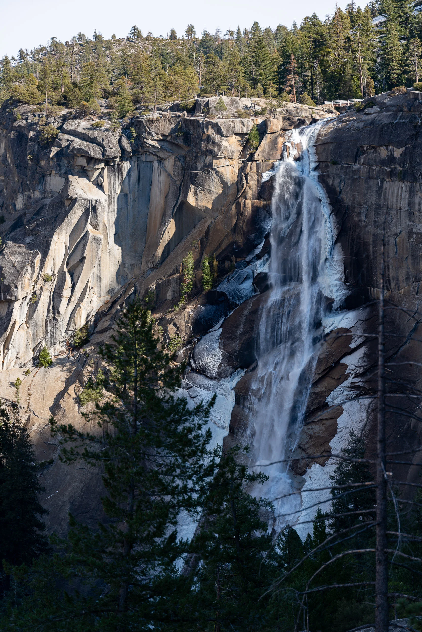
One more full day in the Yosemite Valley! This day I would take a short trip to Bridal Veil Falls and then explore the eastern section of the valley: The Mist Trail and the John Muir trail leading to Vernal and Nevada Falls. The shape of the valley leaves much of this section in near permanent shade this time of year, meaning that I would find Vernal Falls and the pool at its base covered in ice even late in the day, but this also meant that the Mist Trail steps were frozen, and I had to detour around a section of the John Muir trail to reach the top of these falls. It got me thinking about the many people that had come to these places before me when I thought of John Muir, author and advocate for wilderness preservation often known for his quote:

The mountains are calling and I must go.
— John Muir

Short daylight hours, a lengthened winter route, and additional hiking from the parking lot to the trail head, along with some hesitation and a late start from the series of lengthy, vertical trails over the previous days, meant that I would not reach the top of the upper Nevada Falls before sundown. I did still see views though of Vernal Falls from up close and Nevada Falls from nearby, along with sights of the valley itself from a new perspective.

Upon my return, worn out from a long week, I headed back to the hostel for the night, having to say goodbye one last time for an early trip back to the city for the new year before flying back.


Day 6:

New Years Eve. I spent some of the morning exploring the Golden Gate recreational areas including Fort Point, Hawks Point, Battery Spencer, Land's End, Ocean Beach, and a walk around Golden Gate Park. Much of the area I found closed due to government shutdown and the New Years Holiday, but I tried to make the most of what I could.

Finally, a drive down the windy Lombard street and other steep San Francisco streets to the hostel, some dinner, and New Years Fireworks on the Embarcadero, with the Bay Bridge as the backdrop. Then, it was time to go home, and get back to work. It was a challenging week, but I find comfort in seeing new wilderness, and new people.


Great Smoky Mountains by Paul Amengual

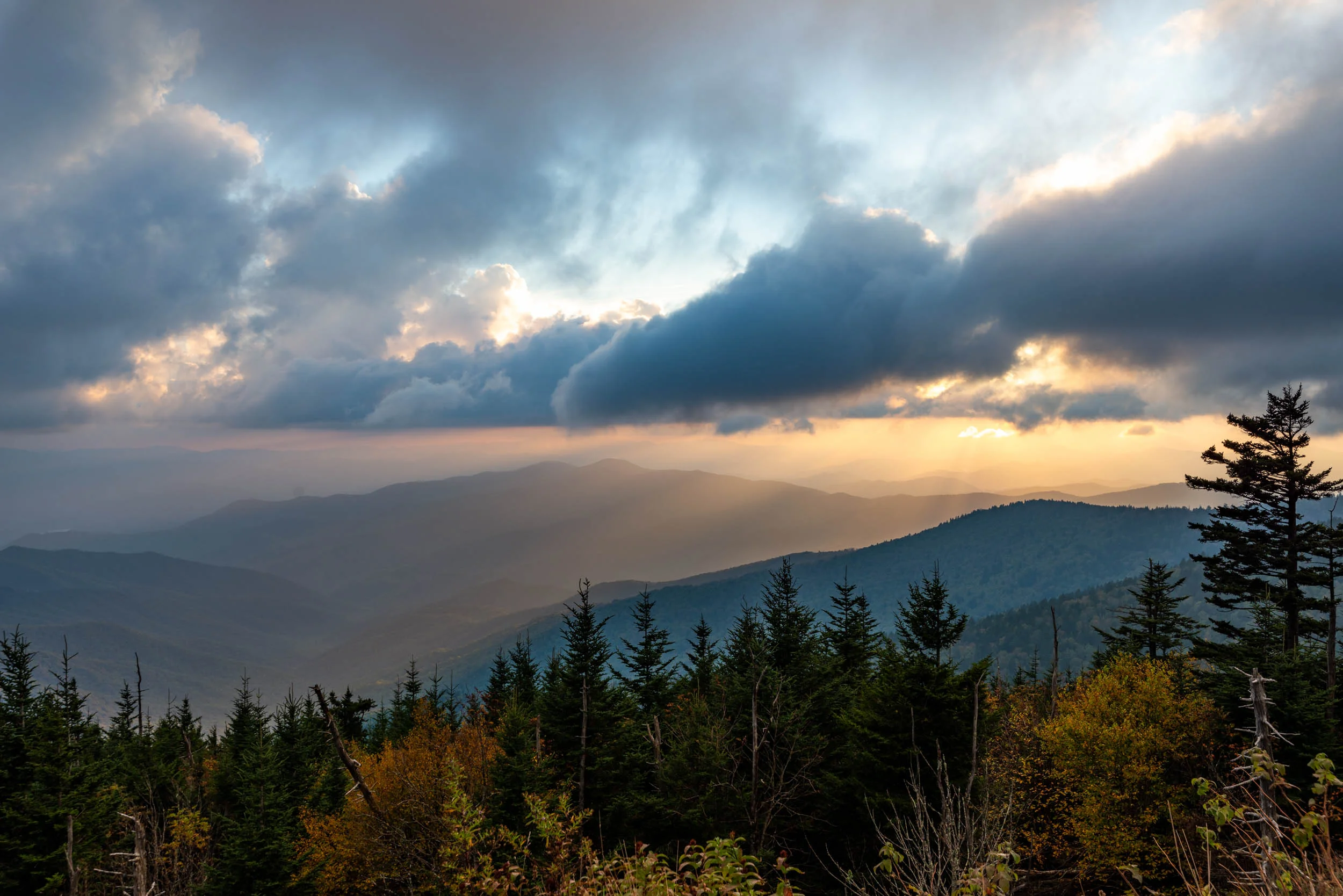
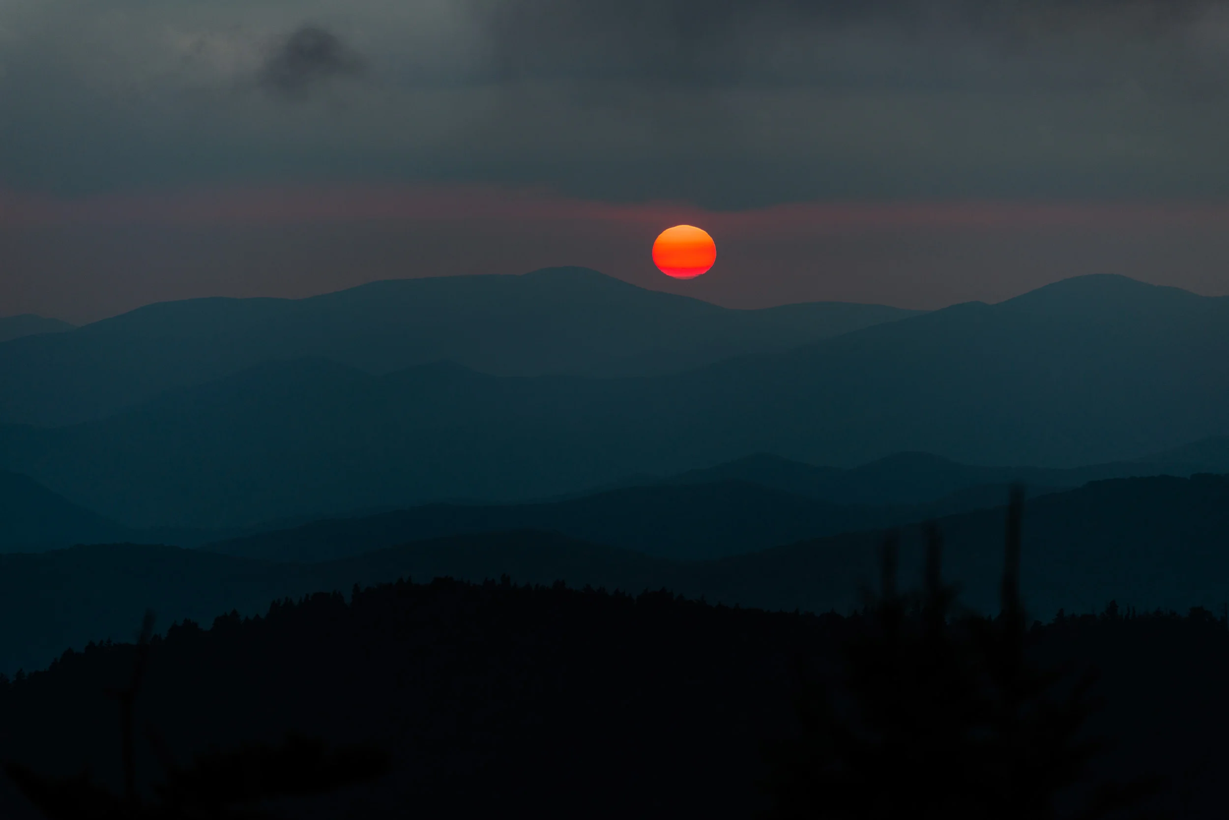
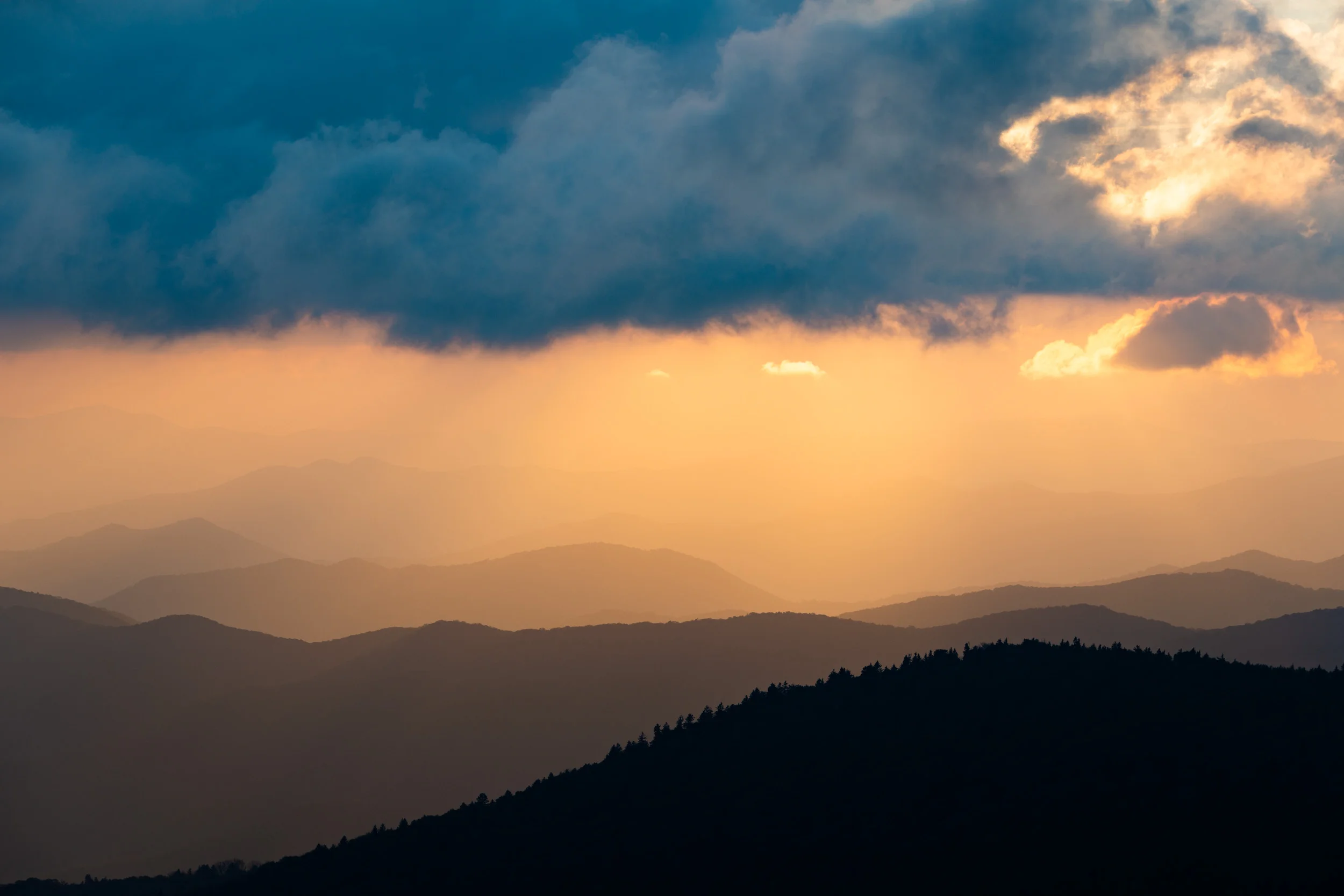
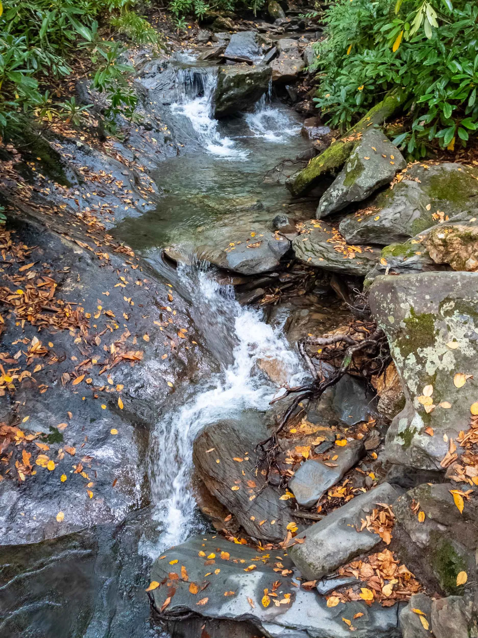
Took a visit to the Great Smoky Mountains National Park over the long weekend. Long drives through winding mountain roads and orange sunsets abound.


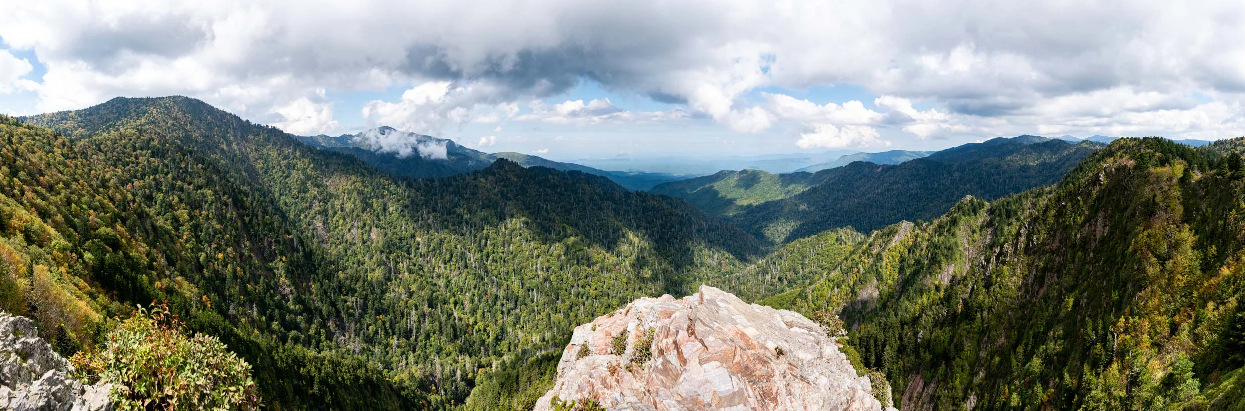
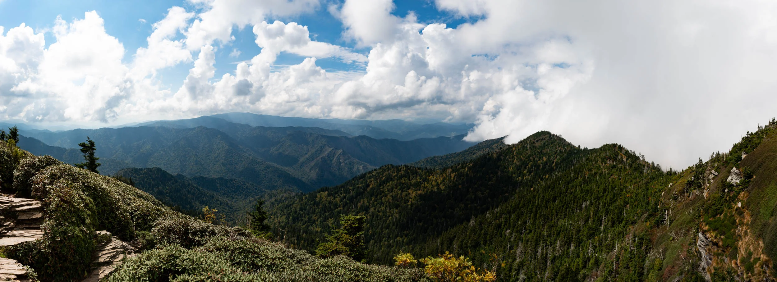
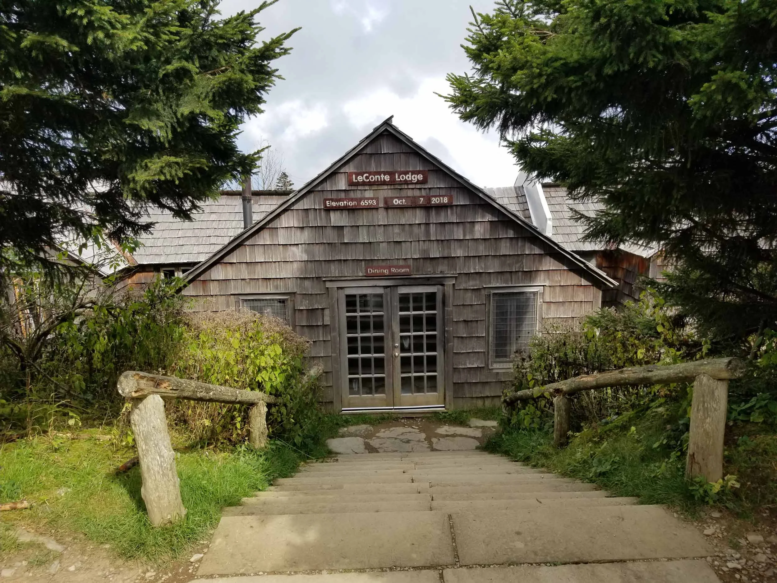
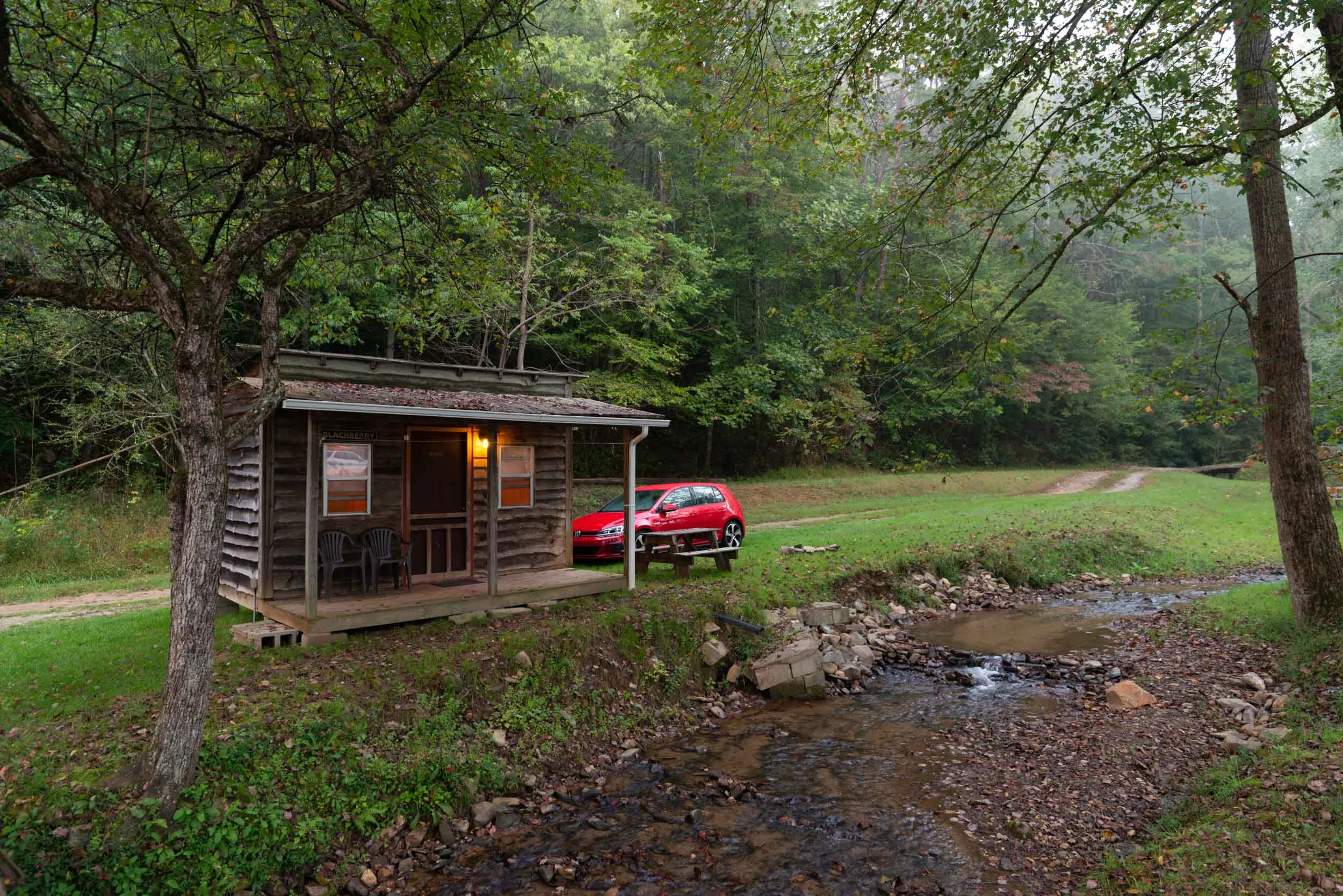
After a stay in a cozy single room cabin by a calmly flowing stream, I traveled to hike along the Appalachian trail to see Chalie’s Bunion, a rocky outcropping with broad views of the mountains. I met some friendly travelers and walked the 8 mile round trip with them. The next stop was Clingman’s Dome, the highest point in the park and the highest point on the Appalachian trail. It’s marked with an observation tower with 360 degree views, and a spiral ramp to the top to match. The next day I took the trail from the Alum Cave trailhead to summit Mt. Leconte. Mt. Leconte is the 3rd highest peak in the park, and located near its peak is the LeConte Lodge, the highest guest lodge in the eastern US at 6593 feet. A group of cabins and a lodge with a small dining room and a balcony overlooking mountain views welcome hikers. But I only stayed briefly to continue to the cliff tops. Cloudy days lead to some decreased visibility, but increased drama as well as I looked skyward.